Henry Fork (West Virginia)
The Henry Fork is a tributary of the West Fork Little Kanawha River, 21.8 miles (35.1 km) long,[3] in west-central West Virginia in the United States. Via the West Fork and the Little Kanawha and Ohio rivers, it is part of the watershed of the Mississippi River, draining an area of 91 square miles (240 km2)[4] in a rural region on the unglaciated portion of the Allegheny Plateau.
| Henry Fork | |
|---|---|
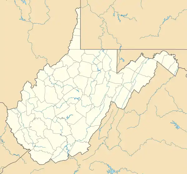 Location of the mouth of the Henry Fork in West Virginia | |
| Location | |
| Country | United States |
| State | West Virginia |
| Counties | Roane, Calhoun |
| Physical characteristics | |
| Source | |
| • location | southeast of Tariff, southeastern Roane County |
| • coordinates | 38.6373168°N 81.1676141°W[1] |
| • elevation | 1,181 ft (360 m)[2] |
| Mouth | West Fork Little Kanawha River |
• location | Boundary of Calhoun and Roane counties at Rocksdale |
• coordinates | 38.8434204°N 81.2206722°W[1] |
• elevation | 673 ft (205 m)[1] |
| Length | 21.8 mi (35.1 km) |
| Basin size | 91 sq mi (240 km2) |
| Basin features | |
| Tributaries | |
| • right | Beech Fork |
The Henry Fork rises southeast of the community of Tariff in southeastern Roane County and flows generally northward, through Tariff and Linden. From the mouth of its tributary the Beech Fork, it flows along the boundary of Roane and Calhoun counties for the remainder of its course, to its mouth at Rocksdale, where it flows into the West Fork from the south.[5]
See also
References
- Geographic Names Information System. "Geographic Names Information System entry for Henry Fork (Feature ID #1540157)". Retrieved 2011-10-11.
- Google Earth elevation for GNIS source coordinates. Retrieved on 2011-03-15.
- United States Environmental Protection Agency. "Watershed Assessment, Tracking & Environmental Results: Assessment Summary for Reporting Year 2008, West Virginia, Little Kanawha Watershed". Archived from the original on 2011-10-14. Retrieved 2011-10-13.
- West Virginia Department of Environmental Protection. "HUC 8-12 Watersheds" (PDF). Archived from the original (PDF) on 2011-10-12. Retrieved 2011-10-13. Sum of acreages of HUC 12 watersheds 050302030603, 050302030604, and 050302030605, totaling 58206.29 acres.
- West Virginia Atlas & Gazetteer. Yarmouth, Me.: DeLorme. 1997. pp. 34, 44. ISBN 0-89933-246-3.
This article is issued from Wikipedia. The text is licensed under Creative Commons - Attribution - Sharealike. Additional terms may apply for the media files.