Heuwelsig
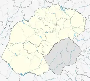
Heuwelsig is a suburb in the northern part of Bloemfontein, South Africa. It derives its name from the geography. This suburb is located on the slopes of mostly granite hills (or koppies). According to the 2011 national census it is a 75% white suburb. It was mainly developed during the 1980s. The main landmark in the area is the Diamond shaped water-tower.
Heuwelsig | |
|---|---|
 Heuwelsig  Heuwelsig | |
| Coordinates: 29.08100°S 26.19922°E | |
| Country | South Africa |
| Province | Free State |
| Municipality | Mangaung |
| Main Place | Bloemfontein |
| Area | |
| • Total | 1.50 km2 (0.58 sq mi) |
| Population (2011)[1] | |
| • Total | 2,596 |
| • Density | 1,700/km2 (4,500/sq mi) |
| Racial makeup (2011) | |
| • Black African | 17.6% |
| • Coloured | 2.0% |
| • Indian/Asian | 3.7% |
| • White | 75.4% |
| • Other | 1.2% |
| First languages (2011) | |
| • Afrikaans | 67.0% |
| • English | 17.0% |
| • Sotho | 7.4% |
| • Xhosa | 2.9% |
| • Other | 5.6% |
| Time zone | UTC+2 (SAST) |
| Postal code (street) | 9301 |
| PO box | 9332 |
It can be accessed via two roads, Lucas Steyn[2] (both directions) and Rayton Road.[3]
References
- "Sub Place Heuwelsig". Census 2011.
- Lucas Steyn at brabys.com.
- Rayton Road at brabys.com.
This article is issued from Wikipedia. The text is licensed under Creative Commons - Attribution - Sharealike. Additional terms may apply for the media files.
.svg.png.webp)