Hiddenite, North Carolina
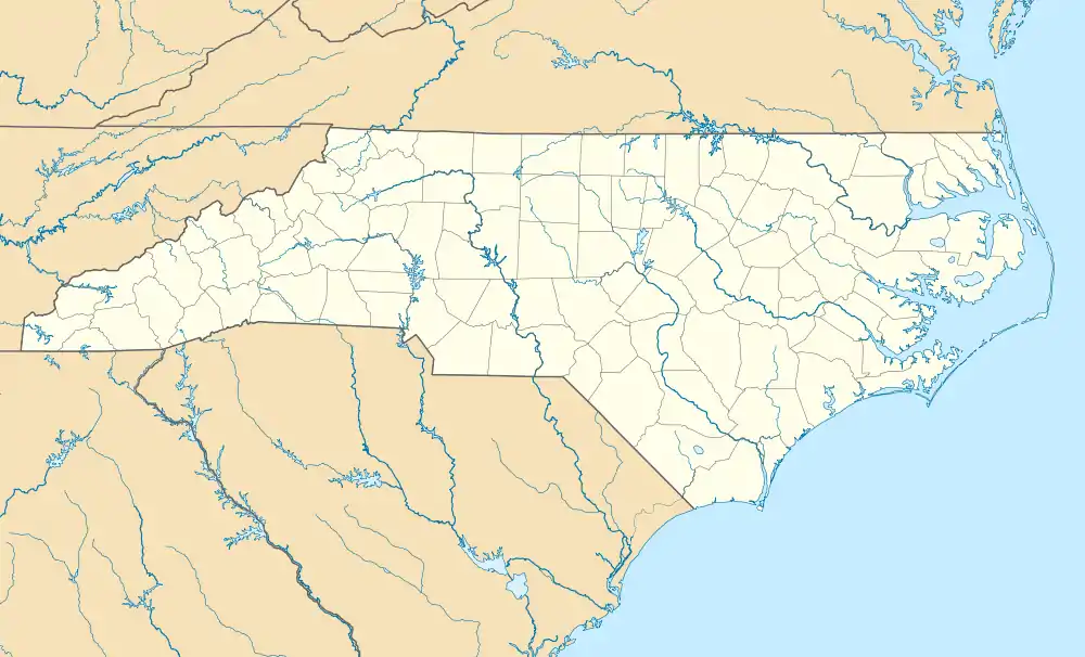
Hiddenite is a census-designated place (CDP) in east-central Alexander County, North Carolina, United States. The population was 536 at the 2010 census.[4] It is part of the Hickory–Lenoir–Morganton Metropolitan Statistical Area.
Hiddenite, North Carolina | |
|---|---|
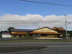 Trio Square supermarket in Hiddenite, October 2017 | |
 Hiddenite | |
| Coordinates: 35°54′13″N 81°05′26″W | |
| Country | United States |
| State | North Carolina |
| County | Alexander |
| Incorporated | 1913 (inactive)[1] |
| Named for | William Hidden[1] |
| Area | |
| • Total | 1.6 sq mi (4.1 km2) |
| • Land | 1.6 sq mi (4.1 km2) |
| • Water | 0 sq mi (0 km2) |
| Elevation | 1,160 ft (350 m) |
| Population (2010) | |
| • Total | 536 |
| • Density | 337/sq mi (130.2/km2) |
| Time zone | UTC-5 (Eastern (EST)) |
| • Summer (DST) | UTC-4 (EDT) |
| ZIP code | 28636 |
| FIPS code | 37-31260[2] |
| GNIS feature ID | 986733[3] |
History
The town of Hiddenite was incorporated in 1913, but its charter was repealed in 1919. Hiddenite was named for William Earl Hidden (1853–1918), a mineralogist sent to North Carolina by Thomas Edison to look for platinum. Hidden discovered the gem that came to be known as "hiddenite" in 1879 in mines nearby. Until recently it was found only in Alexander County, North Carolina, but in recent decades it has been subsequently found in Madagascar and Brazil.[5]
The Hiddenite Gem Mines and surrounding areas also yield emeralds, sapphires, and many other precious stones. Sluicing and digging for precious gems is a popular recreational activity that draws many visitors to the area.
Prior to the arrival of W.E. Hidden, the community was known as White Plains; this is how the area appears on a map of 1871. Hiddenite was once noted as a health resort because of its sulfur springs.
Hiddenite's altitude is 1,160 feet (350 m) above sea level. The community is also a poultry producer.
The Lucas Mansion was listed on the National Register of Historic Places in 1982.[6]
Geography
According to the United States Census Bureau, the CDP has a total area of 1.6 square miles (4.1 km2), of which 0.0039 square miles (0.01 km2), or 0.32%, is water.[4] The CDP is located along North Carolina Highway 90, 5 miles (8 km) east of Taylorsville, the county seat, and 15 miles (24 km) northwest of Statesville. U.S. Route 64 bypasses Hiddenite to the south.
In 2020, during the heavy rains of Tropical Storm Eta in the area, the Hiddenite Bridge split apart.[7]
Hiddenite Celebration of the Arts
The Hiddenite Celebration of the Arts is held on the fourth Saturday in September. The event begins at 9 a.m. and concludes at 4 p.m. The Celebration invites people to see and participate in arts and crafts from different cultures. The main culture is the folk ways of North Carolina. Hispanic and Hmong folkways are also celebrated. The event is full of entertainment and food from around Alexander County. The annual Hiddenite Half-Marathon is held at the same time. The marathon is 13 miles and begins at Pleasant Hill Baptist Church; the finish line is marked in front of the Lucas Mansion. Anyone can participate in this event and trophies are given to those who place.[8]
References
- "North Carolina Gazetteer". Retrieved December 25, 2020.
- "U.S. Census website". United States Census Bureau. Retrieved 2008-01-31.
- "US Board on Geographic Names". United States Geological Survey. 2007-10-25. Retrieved 2008-01-31.
- "Geographic Identifiers: 2010 Demographic Profile Data (G001): Hiddenite CDP, North Carolina". U.S. Census Bureau, American Factfinder. Archived from the original on February 12, 2020. Retrieved July 2, 2013.
- galleries.com page for hiddenite.
- "National Register Information System". National Register of Historic Places. National Park Service. March 13, 2009.
- "'Breaking News': Bridge splits & caves in during live news broadcast [WATCH]". www.timesnownews.com. Retrieved 2020-11-17.
- Archived 2013-02-03 at Archive.today Hiddenite Celebrates Arts at Weekend Event
External links
Municipalities and communities of Alexander County, North Carolina, United States | ||
|---|---|---|
| Town | 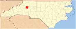 | |
| CDPs | ||
| Footnotes | ‡This populated place also has portions in an adjacent county or counties | |
| ||