Hodgson, Manitoba
Hodgson | |
|---|---|
community | |
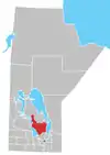
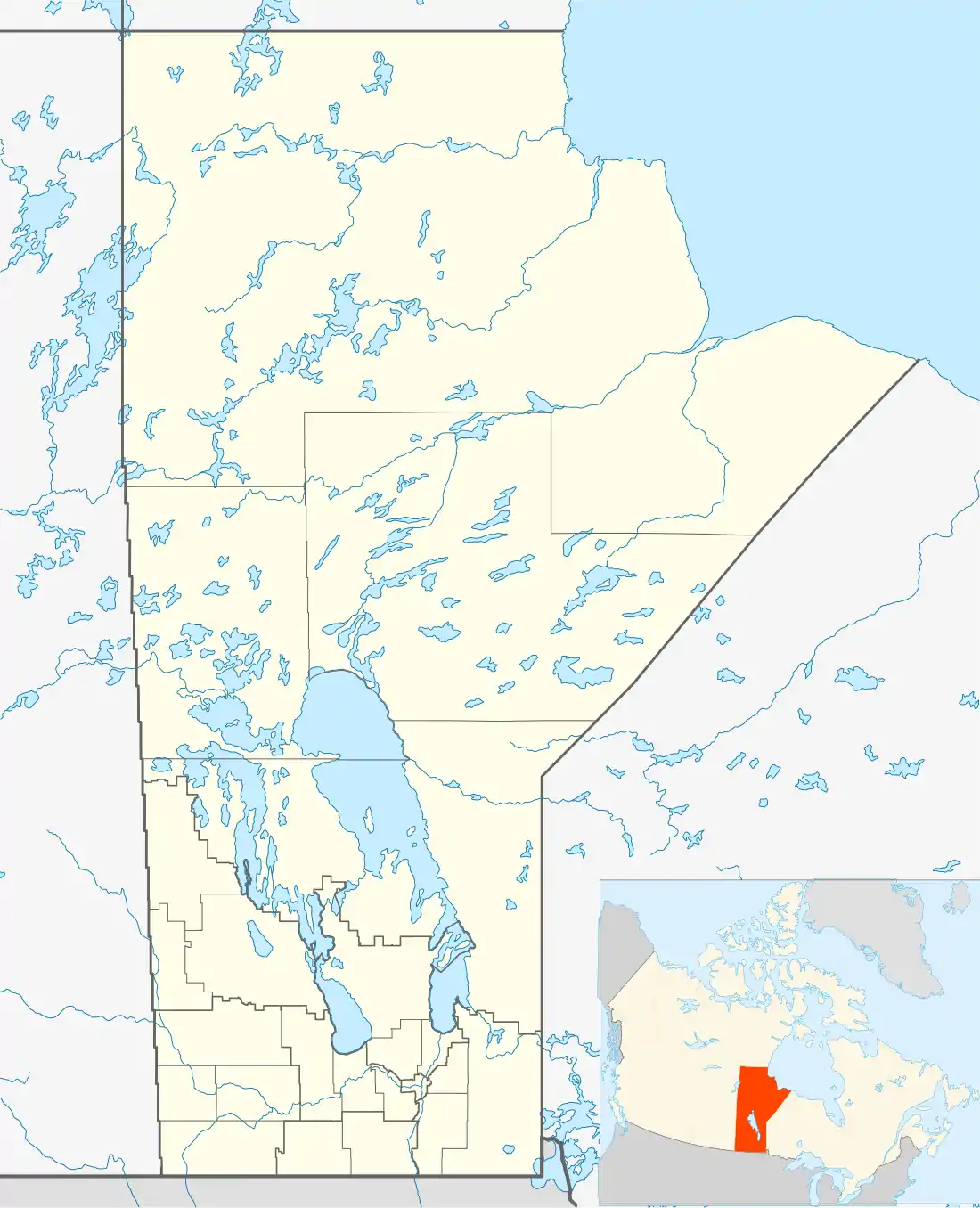 Location of Hodgson in Manitoba | |
| Coordinates: 51.125°N 97.341°W | |
| Country | |
| Province | |
| Region | Manitoba |
| Census division | 18 |
| Rural Municipality | R.M. of Fisher |
| Time zone | UTC-6 (CST) |
| • Summer (DST) | UTC-5 (CDT) |
| Postal code | R0C 1N0 |
| Area code(s) | 204 |
| Highways | Highway 325 |
Hodgson is a community in the Rural Municipality of Fisher in the Canadian province of Manitoba.
It is located on Highway 325 in the Interlake Region of the province.
Climate
| Climate data for Hodgson | |||||||||||||
|---|---|---|---|---|---|---|---|---|---|---|---|---|---|
| Month | Jan | Feb | Mar | Apr | May | Jun | Jul | Aug | Sep | Oct | Nov | Dec | Year |
| Record high °C (°F) | 8.3 (46.9) |
11 (52) |
16.1 (61.0) |
34 (93) |
38 (100) |
37 (99) |
36.1 (97.0) |
36 (97) |
36 (97) |
30 (86) |
20.6 (69.1) |
9 (48) |
38 (100) |
| Average high °C (°F) | −13.8 (7.2) |
−9 (16) |
−1.5 (29.3) |
9 (48) |
17.7 (63.9) |
22.3 (72.1) |
24.9 (76.8) |
23.9 (75.0) |
17.1 (62.8) |
9.5 (49.1) |
−2 (28) |
−10.8 (12.6) |
7.3 (45.1) |
| Daily mean °C (°F) | −20.1 (−4.2) |
−15.7 (3.7) |
−8.3 (17.1) |
2.1 (35.8) |
10 (50) |
15.2 (59.4) |
17.8 (64.0) |
16.4 (61.5) |
10.3 (50.5) |
3.7 (38.7) |
−6.8 (19.8) |
−16.6 (2.1) |
0.7 (33.3) |
| Average low °C (°F) | −26.5 (−15.7) |
−22.3 (−8.1) |
−15 (5) |
−4.9 (23.2) |
2.4 (36.3) |
8 (46) |
10.6 (51.1) |
8.9 (48.0) |
3.4 (38.1) |
−2.1 (28.2) |
−11.6 (11.1) |
−22.3 (−8.1) |
−5.9 (21.4) |
| Record low °C (°F) | −45 (−49) |
−45.6 (−50.1) |
−40 (−40) |
−32 (−26) |
−13 (9) |
−5 (23) |
−0.5 (31.1) |
−4 (25) |
−7.2 (19.0) |
−20 (−4) |
−39 (−38) |
−42 (−44) |
−45.6 (−50.1) |
| Average precipitation mm (inches) | 34.8 (1.37) |
23.9 (0.94) |
33.2 (1.31) |
32.5 (1.28) |
55.1 (2.17) |
84.8 (3.34) |
67.2 (2.65) |
75.7 (2.98) |
64.6 (2.54) |
42.3 (1.67) |
34.5 (1.36) |
35.6 (1.40) |
585.1 (23.04) |
| Source: Environment Canada[1] | |||||||||||||
References
- Environment Canada - Canadian Climate Normals 1971-2000—Canadian Climate Normals 1971–2000, accessed 22 April 2011
Division No. 18, Manitoba (North Interlake Area) | ||||
|---|---|---|---|---|
| Towns |
|  | ||
| Villages |
| |||
| Rural municipalities |
| |||
| First Nations | ||||
| Indian reserves | ||||
| Unorganized areas | ||||
| Unincorporated communities |
| |||
This article is issued from Wikipedia. The text is licensed under Creative Commons - Attribution - Sharealike. Additional terms may apply for the media files.