Hohensaaten
Hohensaaten is a village and a former municipality in Brandenburg in Germany. Since 1 January 2009, it is part of the municipality Bad Freienwalde.
Hohensaaten | |
|---|---|
Stadtteil of Bad Freienwalde | |
Location of Hohensaaten 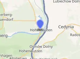
| |
 Hohensaaten  Hohensaaten | |
| Coordinates: 52°52′N 14°09′E | |
| Country | Germany |
| State | Brandenburg |
| District | Märkisch-Oderland |
| Town | Bad Freienwalde |
| Area | |
| • Total | 21.90 km2 (8.46 sq mi) |
| Elevation | 2 m (7 ft) |
| Population (2006-12-31) | |
| • Total | 784 |
| • Density | 36/km2 (93/sq mi) |
| Time zone | UTC+01:00 (CET) |
| • Summer (DST) | UTC+02:00 (CEST) |
| Postal codes | 16248 |
| Dialling codes | 033368 |
| Website | www.hohensaaten.de |
History
Hohensaaten was first mentioned in 1258. The village belonged to Barnim district. After a year-long dispute between municipal board and citizens, partly because of averse to the Barnim district, the treaty of mergence with city of Bad Freienwalde was signed on 14 November 2008.[1] Since 1 January 2009, it is part of the municipality Bad Freienwalde, hence part of Märkisch-Oderland district.[2]
References
| Authority control |
|---|
This article is issued from Wikipedia. The text is licensed under Creative Commons - Attribution - Sharealike. Additional terms may apply for the media files.