Hosrayel
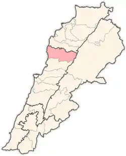
Hosrayel (Arabic: حصرايل, also spelled Hisrail or Hasrayel) is a municipality in the Byblos District of Mount Lebanon Governorate, Lebanon. It is 44 kilometers north of Beirut. Hosrayel has an average elevation of 220 meters above sea level and a total land area of 259 hectares.[1] Its inhabitants are predominantly Maronite Catholics.[2]
Hosrayel
حصرايل Hisrail | |
|---|---|
| Nickname(s): Hisrayel | |
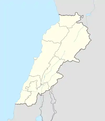 Hosrayel Location in Lebanon | |
| Coordinates: 34°9′50″N 35°39′10″E | |
| Country | Lebanon |
| Governorate | Mount Lebanon |
| District | Byblos |
| Founded by | HELOU Family |
| Government | |
| Area | |
| • Total | 259 ha (640 acres) |
| Elevation | 220 m (720 ft) |
References
- "Hosrayel". Localiban. Localiban. 2008-01-17. Retrieved 2016-02-12.
- "Elections municipales et ikhtiariah au Mont-Liban" (PDF). Localiban. Localiban. 2010. p. 19. Archived from the original (pdf) on 2015-07-24. Retrieved 2016-02-12.
Capital: Byblos | ||
| Towns and villages |
|  |
| Landmarks |
| |
This article is issued from Wikipedia. The text is licensed under Creative Commons - Attribution - Sharealike. Additional terms may apply for the media files.