Hreðavatn
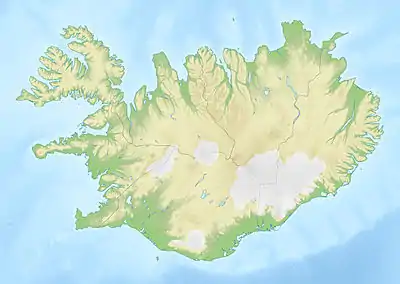
Hreðavatn is a lake in the west of Iceland. It is situated near Route 1 (the Ring Road) between Borgarnes and the pass of Holtavörtuheiði. Nearby is the university faculty of Bifröst and the Grábrók craters as well as the mountain Baula.
| Hreðavatn | |
|---|---|
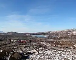 Bifröst seen from the Grábrók craters, the lake is to the right side in the background | |
 Hreðavatn | |
| Coordinates | 64°45′N 21°36′W |
| Basin countries | Iceland |
| Max. length | 5 km (3.1 mi) |
| Surface area | 1.14 km2 (0.44 sq mi) |
| Max. depth | 20 m (66 ft) |
| Surface elevation | 56 m (184 ft) |
The surface of the lake is 1.14 km², it lies 56 m above sea level, its length is about 5 km and its greatest depth 20 m. It is embedded in a scenic landscape of heath and small forest plantations.
See also
External links
- https://web.archive.org/web/20040529132132/http://www.nat.is/nateng/hredavatn.htm
- https://web.archive.org/web/20040620053013/http://iww.is/pages/xw/wl.html (w.Photo)
This article is issued from Wikipedia. The text is licensed under Creative Commons - Attribution - Sharealike. Additional terms may apply for the media files.