Hutton, Maryland
Hutton is an unincorporated community and census-designated place (CDP) in Garrett County, Maryland, United States. Variant names for Hutton include Huttons Switch Station and Kindness.[1]
Hutton, Maryland | |
|---|---|
  | |
| Coordinates: 39°24′51″N 79°28′46″W | |
| Country | United States |
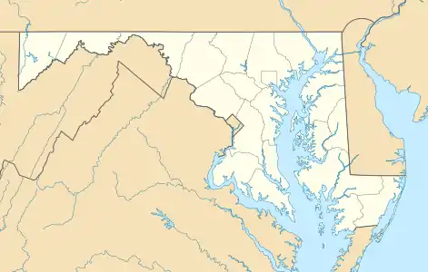
| State | Maryland |
| County | Garrett |
| Area | |
| • Total | 0.17 sq mi (0.44 km2) |
| • Land | 0.17 sq mi (0.44 km2) |
| • Water | 0.0 sq mi (0.0 km2) |
| Elevation | 2,420 ft (740 m) |
| Population (2010) | |
| • Total | 86 |
| • Density | 510/sq mi (200/km2) |
| Time zone | UTC-5 (Eastern (EST)) |
| • Summer (DST) | UTC-4 (EDT) |
| ZIP code | 21550 |
| FIPS code | 24-41175 |
| GNIS feature ID | 590525[1] |
The population was 86 at the 2010 census,[2] which was up from a population of 29 recorded in the 2000 census.[3]
Hutton is located on Maryland Route 39 adjacent to the West Virginia border. MD 39 leads east 6 miles (10 km) to Oakland, the Garrett County seat, and West Virginia Route 7 leads northwest from the state line 4 miles (6 km) to Terra Alta, West Virginia.
The Hutton CDP has an area of 0.17 square miles (0.44 km2), all of it land.[2] The community is in the valley of Snowy Creek, a southeast-flowing tributary of the Youghiogheny River.
References
- "Hutton". Geographic Names Information System. United States Geological Survey.
- "Geographic Identifiers: 2010 Demographic Profile Data (G001): Hutton CDP, Maryland". American Factfinder. U.S. Census Bureau. Retrieved December 16, 2016.
- "Hutton, MD Population - Census 2010 and 2000 Interactive Map, Demographics, Statistics, Quick Facts - CensusViewer". censusviewer.com. Retrieved 2018-07-19.
Municipalities and communities of Garrett County, Maryland, United States | ||
|---|---|---|
| Towns | 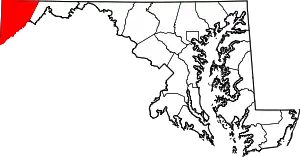 | |
| CDPs | ||
| Unincorporated communities | ||
| Ghost town | ||
| Footnotes | ‡This populated place also has portions in an adjacent county or counties | |
| ||
This article is issued from Wikipedia. The text is licensed under Creative Commons - Attribution - Sharealike. Additional terms may apply for the media files.
