Iezer Mountains
The Iezer Mountains (Romanian: Munții Iezer, also: Munții Iezer-Păpușa) are a mountain range in the Southern Carpathians in Romania. It is part of the Făgăraș Mountains group. Its total area is 535 km2 (207 sq mi). Its highest elevation is 2,470 m (8,100 ft), at Roșu Peak.[1]
| Iezer Mountains | |
|---|---|
 Iezerul Mic (2409 m) | |
| Highest point | |
| Peak | Roșu Peak |
| Elevation | 2,470 m (8,100 ft) |
| Dimensions | |
| Area | 535 km2 (207 sq mi) |
| Naming | |
| Native name | Munții Iezer |
| Geography | |
 | |
| Country | Romania |
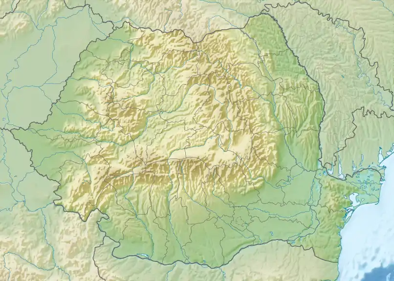
| Range coordinates | 45°28′N 24°57′E |
Location
The Iezer Mountains are located between the Făgăraș Mountains to the northwest and the Piatra Craiului Mountains to the east. The rivers Dâmbovița and Râul Târgului take their source in the Iezer Mountains. The range lies completely within Argeș County.
References
- Popescu, R. (2018). "Permafrost investigations in Iezer Mountains, Southern Carpathians". Revista de Geomorfologie. 20: 102–122.
- 2017 Romanian Statistical Yearbook, p. 11
This article is issued from Wikipedia. The text is licensed under Creative Commons - Attribution - Sharealike. Additional terms may apply for the media files.
