Im Hinteren Eis
Im Hinteren Eis is a mountain in the Ötztal Alps on the border between Tyrol, Austria, and South Tyrol, Italy.
| Im Hinteren Eis | |
|---|---|
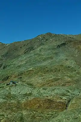 View of Im Hinteren Eis from the ascent to Grawand. | |
| Highest point | |
| Elevation | 3,270 m (10,730 ft) |
| Isolation | 0.58 km (0.36 mi) |
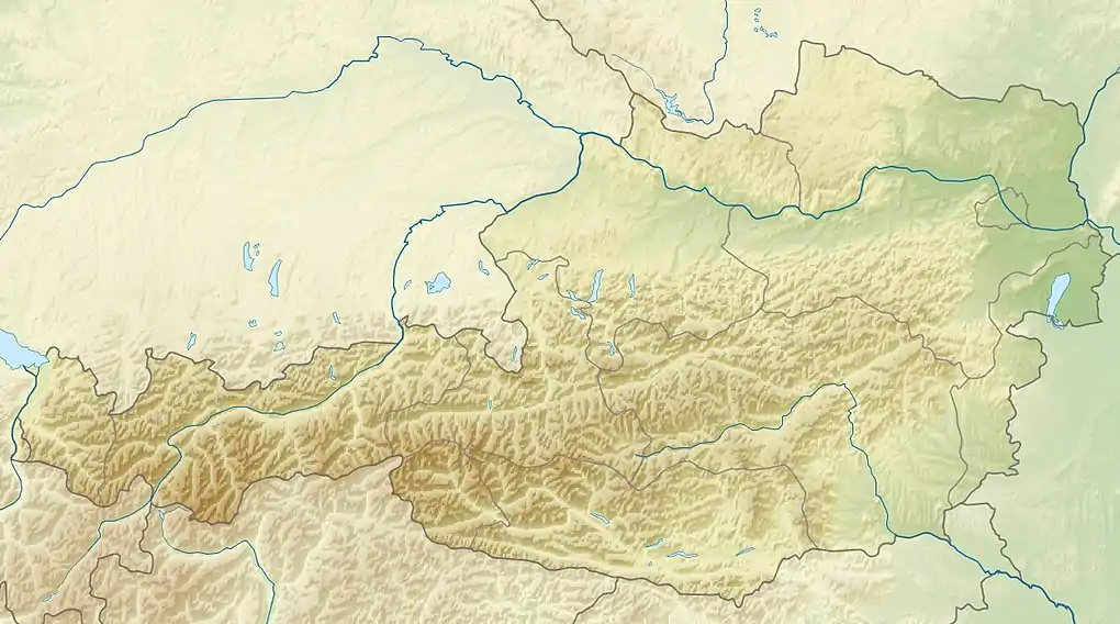
| Coordinates | 46°47′0″N 10°46′0″E |
| Geography | |
 Im Hinteren Eis | |
| Parent range | Ötztal Alps |
This article is issued from Wikipedia. The text is licensed under Creative Commons - Attribution - Sharealike. Additional terms may apply for the media files.
