Jaggang
Jaggang[1] or Jiagang Cun (Tibetan: ལྕགས་སྒང ; Simplified Chinese: 甲岗村) is a village in the Risong Township of Rutog County in the Ngari Prefecture, Tibet region of China.[2] In 2014, its construction as a "demonstration village" started, continuing into 2018.[3] The redevelopment of Jaggang was part of a larger drive to improve border villages and towns in the region under China's poverty relief campaign.[4]
Jaggang /Jiagang
ལྕགས་སྒང 甲岗村 | |
|---|---|
Village | |
 Jaggang /Jiagang 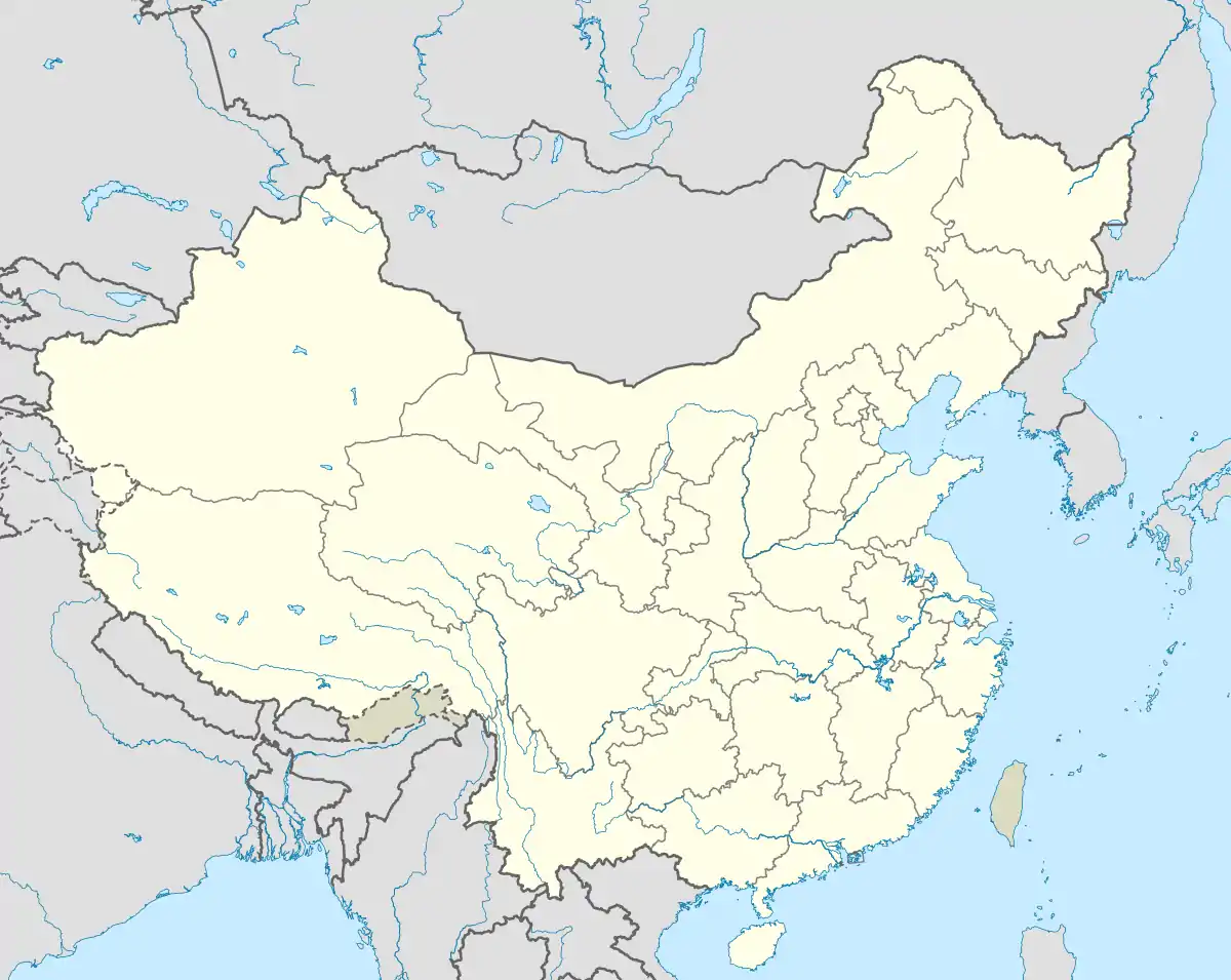 Jaggang /Jiagang | |
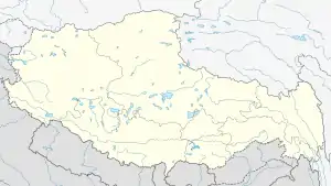
| Coordinates: 32.90524°N 79.67096°E | |
| Country | China |
| Region | Tibet |
| Prefecture | Ngari Prefecture |
| County | Rutog County |
| Township | Risong Township |
| Elevation | 4,523 m (14,842 ft) |
| Population (2018) | |
| • Total | 700+ |
| • Major Nationalities | Tibetan |
| • Regional dialect | Tibetan language |
| Jaggang | |||||||
|---|---|---|---|---|---|---|---|
| Chinese | 甲岗村 | ||||||
| Hanyu Pinyin | jiǎ gǎng cūn | ||||||
| Literal meaning | Jiagang Village | ||||||
| |||||||
Geography
| Jaggang |
The village is located about 80 kilometers away from the county seat of Rutog Town, and about 80 kilometres northeast of the Dumchele border trading point in the Skakjung valley (Indus valley).[4]
It is on the bank of the Maga Zanbo river, which originates northeast of the Chang La pass and takes a circuitous route to flow into the Pangong Lake up north, passing by Risong and Rutog towns. It is one of the largest rivers that drains into the Pangong Lake.
Traditional villages
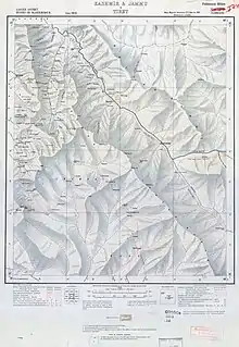
The new village is close to the traditional villages called Chikang and Churkang, which are also on the bank of the Maga Zanbo river. Churkang lies at the intersection of the routes to Rutog from Tashigang as well as the Skakjung valley. Traditionally, monthly fairs were held at Churkang for trade between India and Tibet.[5][6]
Prior to the 1962 Sino-Indian War, the Chinese built a 'class 9 fair weather road' from Churkang to Chang La, a distance of 40km.[6] The road has now been extended up to Dumchele.
Demographics
In 2016, there were 691 people in 185 households in Jaggang village.[3] This increased to 197 households with 723 people in 2018.[2] The per capita income in 2016 was CN¥ 8,060 yuan (US$ 1228.10).[3]
In 2019 the village had 106 Chinese Communist Party members.[7]
Economy
The village has a collective economy focusing on manufacturing, border trade, development of nurseries and husbandry. The residents are provided with government subsidies for living in the border regions. The village has access to water, electricity and cellular network coverage.[1]
See also
References
- 周欣 (18 September 2018). "Jaggang Village model unit in China's Tibet poverty relief campaign". Xinhua English News. Retrieved 2020-11-21.
- "西藏阿里:建设中的边境小康示范村-新华网". Xinhua News Agency: Xinhuanet. 18 September 2018. Retrieved 2020-11-09.
- Yongyi, Xiao (17 January 2018). "阿里甲岗村:鼓起梦想的风帆_资讯_中国西藏网". www.tibet.cn. Retrieved 2020-11-21.
- "阿里地区边境小康村建设工作综述:"好政策让日子越过越美"_岗村". www.sohu.com. 2020-11-09. Retrieved 2020-11-21.
- Montgomerie, T. G. (1870), "Narrative Report of the Trans-Himalayan Explorations during 1868", Journal of the Asiatic Society of Bengal, 36 (part 2, issue 1): 48
- Malhotra, A. (2003). Trishul: Ladakh And Kargil 1947-1993. Lancer Publishers. pp. 43, 45. ISBN 978-81-7062-296-3.
- Tiannan, Fang, ed. (2019-09-01). "(边疆党旗红) 班公湖畔 基层党员谈使命". m.yicai.com. CCTV. Retrieved 2020-11-24.
| County-level divisions | 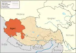 | |
|---|---|---|
| Towns and villages | ||
| Geography | ||
| Landmarks | ||
