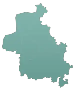
Kafr Rumah
Kafr Rumah (Arabic: كفر ومة, also spelled Kafrumah or Kfar Ruma) is a town in northwestern Syria, administratively part of the Maarrat al-Nu'man District of the Idlib Governorate. According to the Syria Central Bureau of Statistics, Kafr Rumah had a population of 12,276 in the 2004 census.[1] Its inhabitants are predominantly Sunni Muslims.[2] Nearby localities include Hass, Syria and Kafr Nabl to the west, Sarjah to the north, Maarrat al-Nu'man to the east and Hish to the south.
Kafr Rumah
كفر ومة Kafrumah Kfar Ruma | |
|---|---|
Village | |
 Kafr Rumah Location in Syria | |
| Coordinates: 35°38′3″N 36°37′56″E | |
| Country | |
| Governorate | Idlib |
| District | Maarrat al-Nu'man |
| Subdistrict | Maarrat al-Nu'man |
| Population (2004) | |
| • Total | 12,276 |
| Time zone | UTC+2 (EET) |
| • Summer (DST) | UTC+3 (EEST) |
History
Kafr Rumah contains ancient ruins. Among them is a bridge consisting of slabs built on ten pillars instead of the typical style of Roman and Byzantine-era bridges in the Levant and elsewhere, which are supported were by arches.[2]
According to the 13th century Muslim scholar Yaqut al-Hamawi, Kafar Ruma was:
"A village of Ma'arrah an Nu'man. It was once a celebrated fortress, but was ruined by Lulu as Saifi, who conquered Halab in 393 (1003)".[3]
References
- General Census of Population and Housing 2004 Archived 2013-02-06 at the Wayback Machine. Syria Central Bureau of Statistics (CBS). Idlib Governorate. (in Arabic)
- Boulanger, 1966, p. 412.
- Le Strange, 1890, p. 471
Bibliography
- Boulanger, Robert (1966). The Middle East, Lebanon, Syria, Jordan, Iraq, Iran. Hachette.
- Le Strange, G. (1890). Palestine Under the Moslems: A Description of Syria and the Holy Land from A.D. 650 to 1500. Committee of the Palestine Exploration Fund.

