Kaimai Mamaku Conservation Park
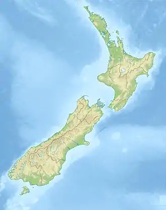
The Kaimai Mamaku Conservation Park is a protected area in the North Island of New Zealand. It was formed in 1975[1] as the Kaimai-Mamaku Forest Park, defined as a Conservation Park in 1987, and renamed in 2009.[2] The park forms a barrier between the Waikato and Bay of Plenty regions, and runs from the Karangahake Gorge in the north, almost to Rotorua in the south. The park covers an area of around 37,000 hectares.
| Kaimai Mamaku Conservation Park | |
|---|---|
 Kaimai Mamaku Conservation Park | |
| Location | North Island, New Zealand |
| Nearest town | Te Aroha |
| Coordinates | 37.721°S 175.888°E |
| Area | 37,000 hectares (91,000 acres) |
| Established | 1975 |
| Governing body | Department of Conservation |
The Department of Conservation administers the land.
References
- Kaimai Mamaku Conservation Park Map, published by Department of Conservation, 2017
- Land Information New Zealand New Zealand Gazetteer
This article is issued from Wikipedia. The text is licensed under Creative Commons - Attribution - Sharealike. Additional terms may apply for the media files.