Kalmthout
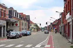
Kalmthout (Dutch pronunciation: [ˈkɑlmtɦʌu̯t]) is a municipality in the Belgian province of Antwerp. The municipality comprises the villages of Kalmthout, Achterbroek, Heide, and Nieuwmoer. On January 1, 2007 Kalmthout had a population of 17,508. The total area is 59.45 square kilometres (22.95 sq mi). Kalmthout has a population density of 294 inhabitants per km².
Kalmthout | |
|---|---|
 Town hall | |
 Flag  Coat of arms | |
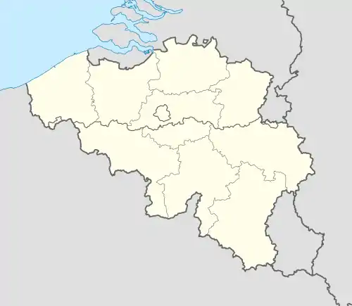
 Kalmthout Location in Belgium
Location of Kalmthout in the province of Antwerp  | |
| Coordinates: 51°23′N 04°28′E | |
| Country | Belgium |
| Community | Flemish Community |
| Region | Flemish Region |
| Province | Antwerp |
| Arrondissement | Antwerp |
| Government | |
| • Mayor | Lukas Jacobs (CD&V) |
| • Governing party/ies | CD&V, VLD |
| Area | |
| • Total | 59.45 km2 (22.95 sq mi) |
| Population (2018-01-01)[1] | |
| • Total | 18,608 |
| • Density | 310/km2 (810/sq mi) |
| Postal codes | 2920 |
| Area codes | 03 |
| Website | www.kalmthout.be |
In addition to Kalmthout itself, the municipality also contains the communities of Dorp-Heuvel, Heide, Achterbroek, and Nieuwmoer.
The Arboretum Kalmthout is one of Belgium's most beautiful botanical gardens. The Kalmthoutse Heide is a nature reserve of nearly 10,000 acres (40 km2) spanning the border between Belgium and the Netherlands.
Sightseeing
The "Kalmthoutse Heide" is a big natural park in Kalmthout. It is open to the public and has more that 15 different routes that can carry for 10s of kilometers.
The first Synagogue outside of a city in Belgium was built in 1928 on Leopoldstraat in the village of Heide. This pre-dates the Catholic Church St. Jozef's and can be seen on the local walking tour. The Jewish community played an important part in local history, with the first Belgian Yeshiva also being built in Heide. Many architectural innovative Villas from the community still stand and can be seen during walking tours guided by local historians.
Notable inhabitants
- Hector Carlier (1884-1946), industrialist and cofounder of Petrofina
- Maria Rosseels (1916-2005), journalist and writer
- Willy Vandersteen (1913-1990), Flemish comic book creator of Spike and Suzy
- Karel Bossart (1903-1975), Designer of the Atlas missile
- The three members of Flemish folk and world music group Laïs are from Kalmthout.

References
- "Wettelijke Bevolking per gemeente op 1 januari 2018". Statbel. Retrieved 9 March 2019.
External links
 Media related to Kalmthout at Wikimedia Commons
- (in Dutch) Kalmthout Official website
- (in Dutch) Scouts Kalmthout heuvel Official website
- (in Dutch) Arboretum Kalmthout Official website
- Kalmthoutse Heide (in English)

