Karween, Victoria
Karween is a locality situated on the Redcliffs-Merringur Road in the Sunraysia region, south of the Sturt Highway. It is about 9 kilometres east from Morkalla and 6 kilometres west from Meringur. The railway arrived soon after the area was settled by returned servicemen after World War I, in 1931, and closed in 1964.[2] Karween had a progress association operating in the 1930s.
| Karween Victoria | |
|---|---|
 Karween | |
| Coordinates | 34°22′32″S 141°14′19″E |
| Postcode(s) | 3496 |
| Location | |
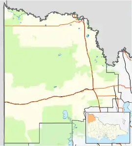
| LGA(s) | Rural City of Mildura |
| Region | Sunraysia |
| State electorate(s) | Mildura |
| Federal Division(s) | Mallee |
References
- Travelmate Archived 24 March 2007 at the Wayback Machine
- Andrew Waugh (March 2003). "Redcliffs - Meringur" (PDF). Victorian Signalling Histories No 58, Version 1.0. p. 7. Retrieved 24 June 2014.
This article is issued from Wikipedia. The text is licensed under Creative Commons - Attribution - Sharealike. Additional terms may apply for the media files.