Kasarnaba
Kasarnaba (Arabic: قصرنبا) is a town in Baalbek District, Baalbek-Hermel Governorate, Lebanon famous for its hilly terrain and Traditional Agricultural practices.
Kasarnaba
قصرنبا | |
|---|---|
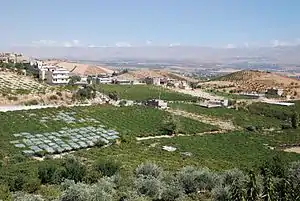 Grapes in vineyard below village of Qsarnaba | |
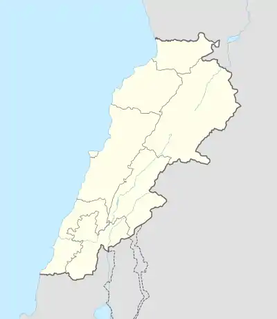 Kasarnaba Location in Lebanon | |
| Coordinates: 33°54′52″N 35°59′22″E | |
| Country | |
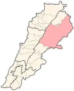
| Governorate | Baalbek-Hermel |
| District | Baalbek |
| Elevation | 3,970 ft (1,210 m) |
| Time zone | UTC+2 (EET) |
| • Summer (DST) | +3 |
Geography
The town is located at the shoulder of The Western Lebanese Mountain Range just to the East of Mount Sanine specifically and it overlooks the central parts of Beqaa Valley.
History
A Roman Temple is found in this town, called "Castra El Banaat".
In 1838, Eli Smith noted Kasarnaba's population to be predominantly Metawileh.[1]
People in Kasarnaba are traditionally farmers famous for growing vineyards and wild rose flowers for rosewater extraction, in addition to many other traditional Horticultural crops some of which are listed below.
Landscape
Kasarnaba has many hills creating deep valleys in between including:
- Wadi El Hawr
- Wadi El Debs
- Wadi El Boss
- Wadi Neita
- Wadi ain el Louis
- wadi ain al chaghour
- wadi al zaraet
- wadi al toghra
- wadi malek
References
- Robinson and Smith, 1841, vol 3, 2nd appendix, p. 144
Bibliography
External links
- Qsarnaba, Localiban
Capital: Baalbek | ||
| Towns and villages |
|  |
| Other | ||
