Kasempa
Kasempa is a town located in Kasempa District, North-Western Province, Zambia. It is approximately 550 kilometres (340 mi) by road northwest of Lusaka, the capital.[1] Kasempa is located on the western bank of the Lufupa River as it flows south into the Kafue National Park.[2]
Kasempa | |
|---|---|
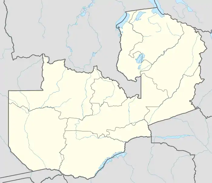 Kasempa Map of Zambia showing the location of Kasempa. | |
| Coordinates: 13°27′18″S 25°50′06″E | |
| Country | |
| Province | North-Western Province |
| District | Kasempa District |
| Elevation | 1,140 m (3,740 ft) |
| Population (2010 Estimate) | |
| • Total | 11,700 |
| Time zone | UTC+3 (CAT) |
| Climate | Cwa |
Population
As of December 2010, the population of Kasempa, for a radius of 7 kilometres (4.3 mi) from the town center is approximately 10,700.[3]
Landmarks
The landmarks within the town limits or close to the edges of the town include:
- mukinge mission Hospital is major hospital for the missions the evangelical church in zambia.
- kasempa clinic
- Kasempa Radio Mast
- Kasempa Central Market
- The Junction Between Mumbwa-Kankwenda Highway (D181) and the Kaoma-Kasempa Highway (D301).
- Kasempa day Secondary School - A public,
- Kasempa primary & BAsic school
*Kasempa boys boarding school,
- Mukinge girls secondary school ,
- Mukinge day Secondary school
- mukinge airport
References
This article is issued from Wikipedia. The text is licensed under Creative Commons - Attribution - Sharealike. Additional terms may apply for the media files.
