Kawambwa
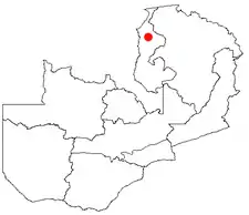
Kawambwa is a town in the Zambian province of Luapula located on thedge of the northern Zambian plateau above the Luapula valley at an altitude of 1300 m. It was chosen as an administrative district of the same name by the British colonial authorities who preferred the climate of the plateau rather than the hotter valley where most of the district's population live, and it continues as an administrative district today.
Kawambwa sits at the junction of tarred roads to Nchelenge, Mporokoso, Mushota and Mansa, and Mbereshi linking with the Zambia Way, the main tarred highway of the Luapula Province through Kazembe (Mwansabombwe)[1] and Mansa.
Zambia's largest tea plantation is situated 27 km from Kawambwa on the Mporokoso road.
A camp for refugees of war in the eastern DR Congo was established by United Nations agencies at Kala 24 km north of Kawambwa in 1998, with a capacity for 40,000 refugees.
Near to Kawambwa are two of Zambia's waterfalls Lumangwe Falls 50 km to the north-east on the Kalungwishi River and the Ntumbachushi Falls on the Ngona River, 16 km west.[2]
References
- Gordon, David M. (March 2006). "HISTORY ON THE LUAPULA RETOLD: LANDSCAPE, MEMORY AND IDENTITY IN THE KAZEMBE KINGDOM". The Journal of African History. 47 (1): 21–42. doi:10.1017/S0021853705001283. ISSN 1469-5138.
- "Zambia Tourism". www.zambiatourism.com. Retrieved 2020-05-25.
