Kela Khera
Kela Khera is a town and a nagar panchayat in Udham Singh Nagar district in the Indian state of Uttarakhand.
Kela Khera | |
|---|---|
city | |
| Nickname(s): Hill palace | |
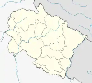 Kela Khera Location in Uttarakhand, India  Kela Khera Kela Khera (India) | |
| Coordinates: 29.09°N 79.19°E | |
| Country | |
| State | Uttarakhand |
| District | Udham Singh Nagar |
| Founded by | Abdul Waheed |
| Named for | Zaheer home |
| Population | |
| • Total | 14,911 |
| Languages | |
| • Official | Hindi |
| Time zone | UTC+5:30 (IST) |
| Vehicle registration | UK |
| Website | uk |
Geography
Kela Khera is located at 29.09°N 79.19°E.[1]
Demographics
As of the 2011 India census,[2] Kela Khera had a population of 14911. Males constituted 53% of the population, and females 47%. Kela Khera has an average literacy rate of 54%, lower than the national average of 59.5%: male literacy is 60%, and female literacy 34%.
References
- "Yahoo maps location of Kela Khera". Yahoo maps. Retrieved 19 January 2009.
- "Census of India 2001: Data from the 2001 Census, including cities, villages and towns (Provisional)". Census Commission of India. Archived from the original on 16 June 2004. Retrieved 1 November 2008.
This article is issued from Wikipedia. The text is licensed under Creative Commons - Attribution - Sharealike. Additional terms may apply for the media files.
