Kenkere
Kenkere is a small town in the southern state of Karnataka, India.[1][2] It is located in the Chiknayakanhalli taluk of Tumkur district in Karnataka. It is the headquarters of the Village Panchayat.
Kenkere | |
|---|---|
Small Town | |
| Nickname(s): "Shree Sharana Kshetra" | |
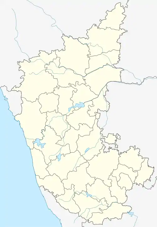 Kenkere Location in Karnataka, India  Kenkere Kenkere (India) | |
| Coordinates: 13.61°N 76.53°E | |
| Country | |
| State | Karnataka |
| Region | Bayaluseeme |
| District | Tumkur District |
| Talukas | Chiknayakanhalli |
| Government | |
| • Type | Local Government |
| • Body | Gram Panchayat |
| Population (2001) | |
| • Total | 5,239 |
| Demonym(s) | Kenkerean |
| Languages | |
| • Official | Kannada |
| • Spoken | Kannada and English |
| Time zone | UTC+5:30 (IST) |
| Postal Index Number | 572218 |
| Telephone code | +91(0)8133 |
| Vehicle registration | KA-44 |
Kenkere is Situated at distance of 6 km (3.73 mi) North of Chitradurga district border, 24 km (14.9 mi) west of Chikkamagaluru district border and 25 km(15.3 mi) Southwest of Hassan district border.
Demographics
As of 2001 India census, kenkere had a population of 5239 with males 2653 and females 2586.[1] Coconut is the crop which is main income of farmers here.
Notable people
- K. B. Siddaiah - professor, activist and poet in Kannada, was born in the village.
See also
- Tumkur
- Districts of Karnataka
- Huliyar
- Chikkanayakanahalli
References
- Village code= 1434300 "Census of India : Villages with population 5000 & above". Registrar General & Census Commissioner, India. Archived from the original on 8 December 2008. Retrieved 18 December 2008.
- "Yahoomaps India :". Archived from the original on 18 December 2008. Retrieved 18 December 2008. Kenkere, Tumkur, Karnataka
External links
District HQ: Tumkur | |
| Villages and Towns |
|
This article is issued from Wikipedia. The text is licensed under Creative Commons - Attribution - Sharealike. Additional terms may apply for the media files.