Kentucky Route 979
Kentucky Route 979 (KY 979) is an 18.671-mile-long (30.048 km) state highway in Kentucky. KY 979's southern terminus is at KY 122 north-northeast of Buckingham, and the northern terminus is at KY 680 and KY 1426 in Harold
| ||||
|---|---|---|---|---|
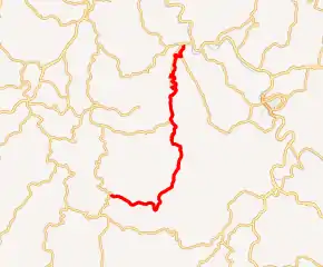
KY 979 highlighted in red | ||||
| Route information | ||||
| Maintained by KYTC | ||||
| Length | 18.671 mi[1] (30.048 km) | |||
| Major junctions | ||||
| South end | ||||
| North end | ||||
| Location | ||||
| Counties | Floyd | |||
| Highway system | ||||
| ||||

Major intersections
The entire route is in Floyd County.
| Location | mi | km | Destinations | Notes | |
|---|---|---|---|---|---|
| | 0.000 | 0.000 | Southern terminus | ||
| | 7.208 | 11.600 | Eastern terminus of KY 3380 | ||
| | 11.421 | 18.380 | Southern end of KY 680 concurrency | ||
| | 14.081 | 22.661 | Northern end of KY 680 concurrency | ||
| | 14.154 | 22.779 | Northern terminus of KY 3379 | ||
| | 15.511 | 24.963 | Southern end of second KY 680 concurrency | ||
| | 15.623 | 25.143 | Northern end of second KY 680 concurrency | ||
| | 17.792 | 28.633 | Southern end of KY 1426 concurrency | ||
| Harold | 18.671 | 30.048 | Northern terminus, northern end of KY 1426 concurrency | ||
| 1.000 mi = 1.609 km; 1.000 km = 0.621 mi | |||||
References
- "Official DMI Route Log". Kentucky Transportation Cabinet. Retrieved August 28, 2018.
This article is issued from Wikipedia. The text is licensed under Creative Commons - Attribution - Sharealike. Additional terms may apply for the media files.