Kfar Nabrakh
Kfar Nabrakh (Arabic: كفر نبرخ Kfar Nabrakh) is a municipality in the Chouf District of Mount Lebanon Governorate, Lebanon. It is located 50 kilometers southeast of Beirut.[1] Kfarnabrakh total land area consists of 941 hectares.[1] Its average elevation is 1,010 meters above sea level.[1] Its inhabitants are religiously mixed, with a Druze majority and a Melkite Christian minority.[2][3] During the Lebanese Civil War, 64 residents of the village were killed in the violence.[2]
Kfar Nabrakh
كفر نبرخ | |
|---|---|
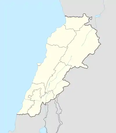 Kfar Nabrakh Location in Lebanon | |
| Coordinates: 33°41′54″N 35°38′2″E | |
| Country | Lebanon |
| Governorate | Mount Lebanon |
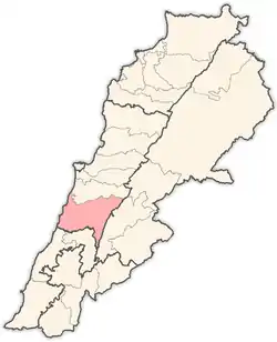
| District | Chouf |
| Area | |
| • Total | 941 ha (2,325 acres) |
| Elevation | 1,010 m (3,310 ft) |
References
- "Kfar Nabrakh". Localiban. Localiban. 2008-01-11. Retrieved 2016-01-27.
- "Displaced: L.L10 bn for Kfarnabrakh". Lebanon. Lebanon.com Interactive - USA. 1997-06-07. Retrieved 2016-01-27.
- "Elections municipales et ikhtiariah au Mont-Liban" (PDF). Localiban. Localiban. 2010. p. 19. Archived from the original (pdf) on 2015-07-24. Retrieved 2016-02-12.
Capital: Beitedine | ||
| Towns and villages |
|  |
| Notable landmarks | ||
This article is issued from Wikipedia. The text is licensed under Creative Commons - Attribution - Sharealike. Additional terms may apply for the media files.
