Kfarmelki
Kfarmelki (Arabic: كفر ملكي), also known as Kafr melki or Kfarmilki, is a town in the Sidon District, South Governorate, Lebanon.
Kfarmelki
كفر ملكي Kfar Melki | |
|---|---|
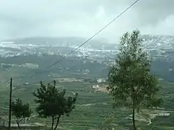 Snow covering Jabal Safi, view from Kafarmilki Feb. 2010 | |
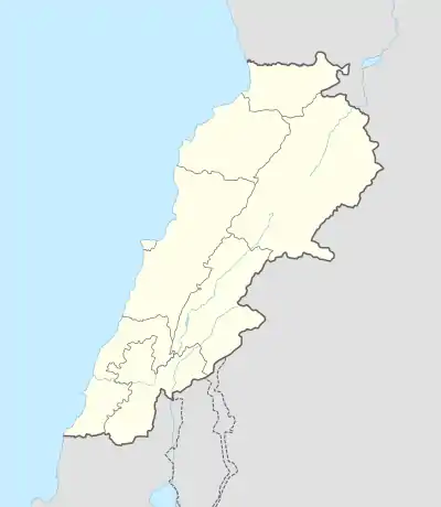 Kfarmelki Location in Lebanon | |
| Coordinates: 33.5014999°N 35.4449403°E | |
| Country | |
| Governorate | South Governorate |
| District | Sidon District |
| Time zone | UTC+2 (EET) |
| • Summer (DST) | UTC+3 (EEST) |
| Area code(s) | 07 |
Kfarmelki is located in the Kaza of Saida one of Mohafazah of South Lebanon kazas (districts). Mohafazah of South Lebanon is one of the eight mohafazats (governorates) of Lebanon. It's 58 kilometers (36 miles) away from (Beirut) the capital of Lebanon. It is 500 meters (1,600 feet; 550 yards) above sea level. Kfarmelki surface stretches for 673 ha (6.73 km2; 2.60 sq mi)
References
External links
| Capital | 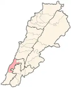 | |
|---|---|---|
| Towns and villages | ||
| Palestinian refugee camps | ||
| Other | ||
This article is issued from Wikipedia. The text is licensed under Creative Commons - Attribution - Sharealike. Additional terms may apply for the media files.
