Khirbet a-Ra'i
Khirbet a-Ra'i is an archaeological site located in the Shfela, located some 3 km northwest of Tel Lakhish on a hill on the Lakhish River's southern bank.
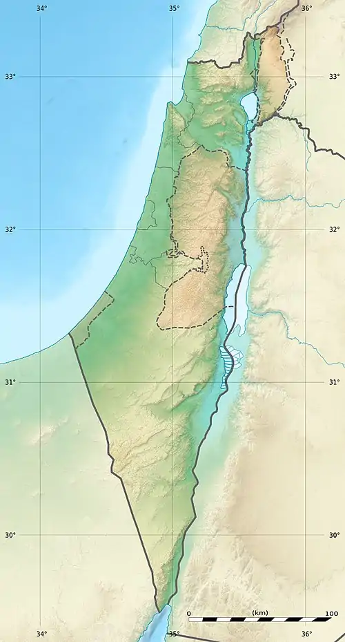 Shown within Israel | |
| Region | Shfela |
|---|---|
| Coordinates | 31°35′27.6″N 34°49′09.4″E |
| History | |
| Periods | Bronze Age, Iron Age, Persian period, Hellenistic period, Byzantine period, Early Arab period, Ottoman period. |
| Site notes | |
| Archaeologists | Yosef Garfinkel and Saar Ganor |
It has been surveyed by the PEF Survey of Palestine in 1875 and by Yehudah Dagan in 1992. It was first excavated in October 2015 and April 2016 on behalf of the Institute of Archaeology at The Hebrew University of Jerusalem and the Israel Antiquities Authority and under the direction of by Yosef Garfinkel and Saar Ganor. Two excavation areas (A and B) were opened were the remains of structures could be seen on the surface. The excavation revealed the ruins of a massive structure dating to the Iron Age I–II and fences from the Ottoman period. Other periods were represented in potsherds from the Middle Bronze Age, Persian, Hellenistic, Byzantine, Early Islamic and Ottoman periods.
Khirbet a-Ra'i has an area of about 17 dunams and is located between the upper and lower parts of the Shfela. It provides an excellent view towards the coastal region in the west, the Mount Hebron and Jerusalem in the east and Tell ej-Judeideh and Maresha to the north. The site controls the main road connecting the Coastal plain with the Shfela and the Judea. These features make the site suitable to serve as a forward outpost of the settlements in the area of Tel Lakhish.[1]
References
- Yossi Garfinkel and Sa‘ar Ganor (21 February 2017). "Khirbat er-Raʽi: Preliminary Report". Hadashot Arkheologiyot: Excavations and Surveys in Israel. Israel Antiquities Authority. 129.