Khurheh, Markazi
Khurheh (Persian: خورهه, also Romanized as Khūrheh, Khoorheh, and Khvorheh; also known as Khowrhen, Khūra, Khūrreh, and Kūrheh)[1] is a village in Khurheh Rural District, in the Central District of Mahallat County, Markazi Province, Iran. At the 2006 census, its population was 627, in 224 families.[2]
Khurheh
خورهه | |
|---|---|
village | |
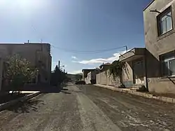 Street in Khurheh | |
 Khurheh | |
| Coordinates: 34°04′23″N 50°29′35″E | |
| Country | |
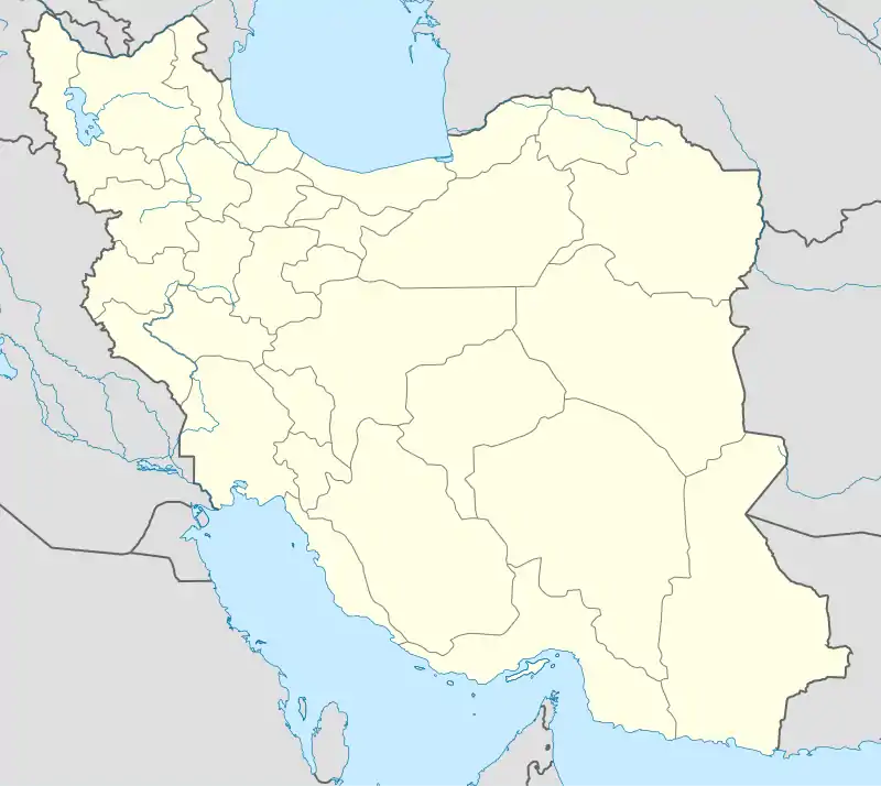
| Province | Markazi |
| County | Mahallat |
| Bakhsh | Central |
| Rural District | Khurheh |
| Population (2006) | |
| • Total | 627 |
| Time zone | UTC+3:30 (IRST) |
| • Summer (DST) | UTC+4:30 (IRDT) |
The village is located 12 miles (19 km) north of Mahallat, Markazi Province of Iran, with historical buildings believed to be of Parthian period.[3] This site was first excavated by Naser al-Din Shah Qajar, on a treasure hunt. It also has an inscription on a rock that date to Seljuq Empire.[4]
References
- Khurheh can be found at GEOnet Names Server, at this link, by opening the Advanced Search box, entering "-3071449" in the "Unique Feature Id" form, and clicking on "Search Database".
- "Census of the Islamic Republic of Iran, 1385 (2006)". Islamic Republic of Iran. Archived from the original (Excel) on 2011-11-11.
- Kleiss, Wolfram. "COLUMNS". Encyclopedia Iranica. Archived from the original on 2011-04-29. Retrieved 2009-10-01.
- "Cultural Heritage Organization of Iran website(In Persian)". Archived from the original on 2011-07-22. Retrieved 2009-10-01.
| Wikimedia Commons has media related to Khorheh, Markazi. |
This article is issued from Wikipedia. The text is licensed under Creative Commons - Attribution - Sharealike. Additional terms may apply for the media files.