Kieskautberg
The Kieskautberg is a hill located two kilometres south of the German village of Carlsberg in the east of the Diemerstein Forest, which is part of the northern Palatine Forest.
| Kieskautberg | |
|---|---|
 Kieskautberg | |
| Highest point | |
| Elevation | 461 m above sea level (1,512 ft) |
| Coordinates | 49°28′20″N 8°02′23″E |
| Geography | |
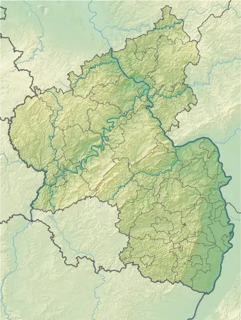
| Location | Bad Durkheim, Rhineland-Palatinate |
| Parent range | Palatine Forest |
The boundary between the collective municipalities of Freinsheim (south) and Grünstadt-Land (north) runs over the hill.[1]
The hill is covered by mixed forest. Its summit is accessible from Hertlingshausen by a footpath managed by the Palatine Forest Club, which is marked by a red circle ![]() .[2]
.[2]
References
- "GeoPortal Rheinland-Pfalz". Archived from the original on 2009-11-15. Retrieved 2014-05-03.
- 1:50,000 map series with walking and cycling routes, published by the Rhineland-Palatinate State Survey Office, 1993
This article is issued from Wikipedia. The text is licensed under Creative Commons - Attribution - Sharealike. Additional terms may apply for the media files.
