Kingston Russell
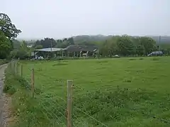
Kingston Russell is a settlement and civil parish 7 miles (11 km) west of Dorchester,[1] in the Dorset district, in the county of Dorset, England. In 2001 the parish had a population of 35.[2] The parish touches Compton Valence, Littlebredy, Long Bredy and Winterbourne Abbas.[3] Kingston Russell shares a parish council with Long Bredy.[4]
| Kingston Russell | |
|---|---|
 | |
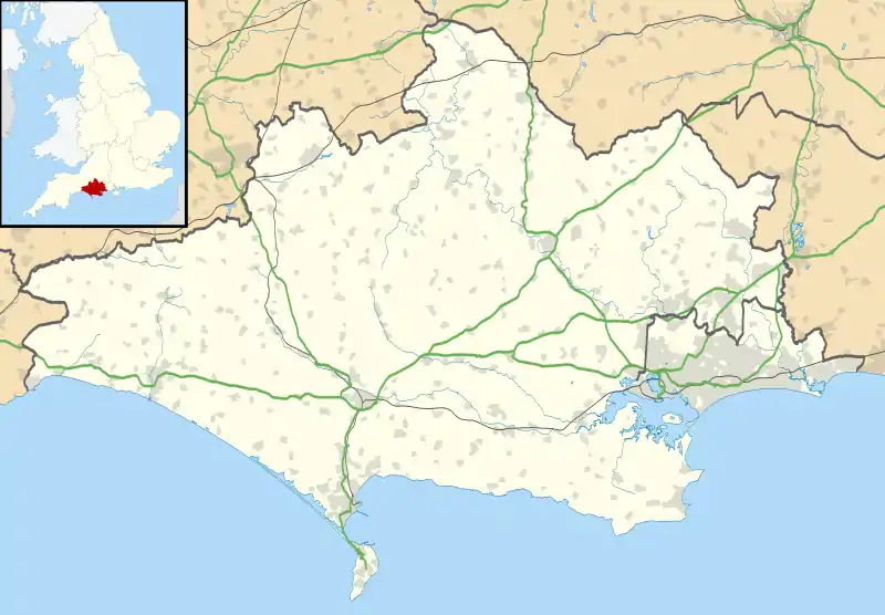 Kingston Russell Location within Dorset | |
| Area | 4.72 km2 (1.82 sq mi) |
| Population | 35 (2001 census) |
| • Density | 7/km2 (18/sq mi) |
| Civil parish |
|
| Unitary authority | |
| Shire county | |
| Region | |
| Country | England |
| Sovereign state | United Kingdom |
Features
There are 4 listed buildings in Kingston Russell.[5]
History
The name "Kingston" means 'King's stone', it was held by John Russel in 1212.[6]
See also
- Kingston Russell House
- Kingston Russell Stone Circle
References
- "Distance from Kingston Russell [50.721612, 2.593512]". GENUKI. Retrieved 7 February 2021.
- "Neighbourhood Statistics". Office for National Statistics. Archived from the original on 5 August 2012. Retrieved 7 February 2021.
- "Kingston Russell". Ordnance Survey. Retrieved 7 February 2021.
- "Parish council". Long Bredy & Kingston Russell Parish Council. Retrieved 7 February 2021.
- "Listed buildings in Kingston Russell, West Dorset, Dorset". British Listed Buildings. Retrieved 7 February 2021.
- "Kingston Russel Key to English Place-names". The University of Nottingham. Retrieved 7 February 2020.
- "Kingston Russell". City Population De. Retrieved 7 February 2021.
| Wikimedia Commons has media related to Kingston Russell. |
This article is issued from Wikipedia. The text is licensed under Creative Commons - Attribution - Sharealike. Additional terms may apply for the media files.