Kiryat Yam
Kiryat Yam (Hebrew: קִרְיַת יָם, lit. Sea Town) is a city in the Haifa Bay district of Israel, 12 km (7 mi) north of Haifa. One of a group of Haifa suburbs known as the Krayot, it is located on the Mediterranean coast, between Kiryat Haim and the Tzur Shalom industrial area, east of Kiryat Motzkin. In 2019 it had a population of 39,897.[1]
Kiryat Yam
קִרְיַת יָם | |
|---|---|
| Hebrew transcription(s) | |
| • ISO 259 | Qiryat Yamm |
 The promenade near the beach at Kiryat Yam | |
 Kiryat Yam emblem | |
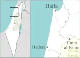 Kiryat Yam 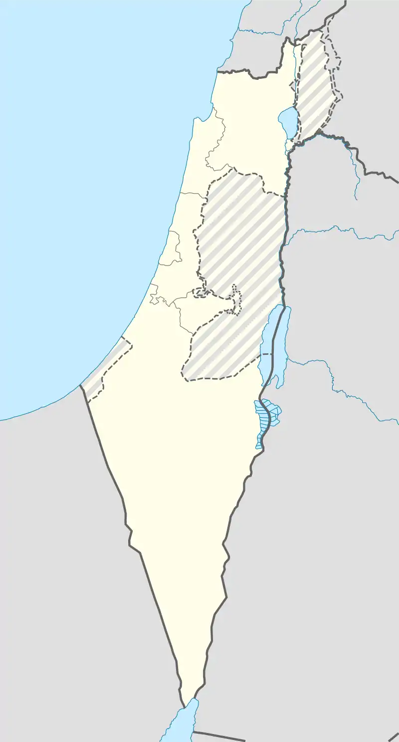 Kiryat Yam | |
| Coordinates: 32°50′0″N 35°04′0″E | |
| Country | |
| District | |
| Founded | 1945 |
| Government | |
| • Mayor | David Even-Tzur |
| Area | |
| • Total | 4,339 dunams (4.339 km2 or 1.675 sq mi) |
| Population (2019)[1] | |
| • Total | 39,897 |
| • Density | 9,200/km2 (24,000/sq mi) |
| Name meaning | Sea Town |
| Website | www |
History

The area was acquired by the Jewish community as part of the Sursock Purchase, in which a large tract of land on the Haifa Bay was purchased from the Sursock family of Beirut by the American Zion Commonwealth in 1925.[2] In 1928, the Bayside Land Corporation, a joint venture of the Palestine Economic Corporation and the Jewish National Fund, acquired 2,400 dunams of residential land in a deal related to the building of the IPC oil pipeline.[3] Development of a residential area began in 1939,[4] and the first houses were completed in 1940.[3]
Demographics

Kiryat Yam has a population of 38,945.[5] The northern area of the city is home to many immigrants from the former Soviet Union, North Africa and Ethiopia in which the municipality and its mayor Shmuel Sisso worked to build dozens of centers and homes to help the immigrants settle. The city is ranked medium on the socio-economic scale.[6]
Schools
Kiryat Yam has 15 preschools, eight elementary schools and 3 high schools (Rabin, Rodman & Levinson) with a student population of 10,000.
Israeli-Arab conflict
During the 2006 Lebanon War, Kiryat Yam was hit by Hezbollah rockets and suffered casualties and property damage.
In February 2008, a Google Earth user added an erroneous note that Kiryat Yam had been built on the ruins of Arab Ghawarina, an abandoned Arab village. The town filed a complaint with the police against Google for libel.[8][9]
Urban development
Urban development plans aimed at upgrading the old Gimmel neighborhood were blocked by Rafael Advanced Defense Systems, whose main weapons development plant borders Kiryat Yam.[10] In 2009, the Haifa district planning committee approved high-rise construction for the neighborhood, overruling Rafael's objections.[11]
Neighbourhoods
- Kiryat Yam (Dalet) - including Almogim
- Kiryat Yam (Gimmel) - built in the 1950s
- Kiryat Yam (Bet)
- Kiryat Yam (Alef)
- Savyoney Yam
- Psagot Yam & Bne Beitkha
Notable persons

- Avner Shats, author and poet
- Sam Vaknin, writer
- Gil Vermouth, footballer
Twin towns – sister cities
Kiryat Yam is twinned with:[12]
 Créteil, France
 Friedrichshain-Kreuzberg (Berlin), Germany
 Makó, Hungary
 Poti, Georgia
 Sighetu Marmației, Romania
References
| Wikimedia Commons has media related to Kiryat Yam. |
- "Population in the Localities 2019" (XLS). Israel Central Bureau of Statistics. Retrieved 16 August 2020.
-
- Glass, Joseph B. (2002). From new Zion to old Zion: American Jewish immigration and settlement in Palestine, 1917-1939. Wayne State University Press. p. 192.
- Glass, 2002, p. 236
- Palestine Post, May 12, 1939
- "Kiryat Yam Profile CBS".
- Local councils and municipalities, by socio-economic index, ranking and cluster membership
- Israeli town sues Google over claim it was built on Arab village Haaretz, 11 February 2008
- Glickman, Eitan; Shlomi, Ro'i (2008-02-11). "Kiryat Yam is Searching Google". Yedioth Ahronoth.
- In Kiryat Yam, urban renewal program faces off with Rafael armaments
- Kiryat Yam renewal gets go-ahead
- "ערים תואמות, שיתופי פעולה וקשרי חוץ (Main Page)". kiryat-yam.muni.il (in Hebrew). Kiryat Yam. Retrieved 2020-02-24.