Knesselare
Knesselare (Dutch pronunciation: [ˈknɛsəlaːrə]) is a former municipality located in the Belgian province of East Flanders. The municipality comprises the towns of Knesselare proper and Ursel. On August 1, 2015, Knesselare had a total population of 8,171.[2] The total area is 37.27 km² which gives a population density of 219 inhabitants per km².
Knesselare | |
|---|---|
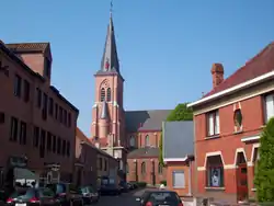 Town centre and Saint Willibrord Church | |
 Flag  Coat of arms | |
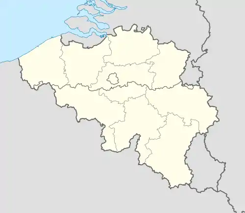 Knesselare Location in Belgium
Location of Knesselare in East Flanders 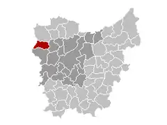 | |
| Coordinates: 51°08′N 03°25′E | |
| Country | Belgium |
| Community | Flemish Community |
| Region | Flemish Region |
| Province | East Flanders |
| Arrondissement | Ghent |
| Government | |
| • Mayor | Erné De Blaere |
| • Governing party/ies | Groep 9910 |
| Area | |
| • Total | 37.27 km2 (14.39 sq mi) |
| Population (2018-01-01)[1] | |
| • Total | 8,236 |
| • Density | 220/km2 (570/sq mi) |
| Postal codes | 9910 |
| Area codes | 09 |
| Website | www.knesselare.be |
The municipality's name is derived from the Germanic words "klisse" (herb) and "laar", (a soggy brushwood terrain).[3]
Effective 1 January 2019, the municipality was merged into Aalter.
Gallery
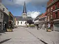 Ursel village center
.jpg.webp) The Drongengoedbos at dawn
The Drongengoedbos at dawn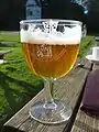 Pierlala beer
References
- "Wettelijke Bevolking per gemeente op 1 januari 2018". Statbel. Retrieved 9 March 2019.
- "IBZ Institution et Population" (PDF). Retrieved 2015-09-23.
- "Knesselare". Our Meetjesland. Retrieved 2006-04-12.
External links
 Media related to Knesselare at Wikimedia Commons
This article is issued from Wikipedia. The text is licensed under Creative Commons - Attribution - Sharealike. Additional terms may apply for the media files.
