Knowle Hill
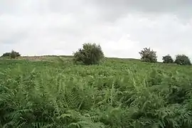
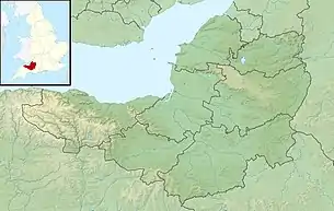
Knowle Hill (grid reference ST583613) is a hill in the Chew Valley, Somerset, England situated between the village of Chew Magna and Chew Valley Lake.
| Knowle Hill | |
|---|---|
 | |
| Highest point | |
| Elevation | 112 m (367 ft) |
| Coordinates | 51°20′59″N 2°35′54″W |
| Geography | |
 Knowle Hill Chew Valley, Somerset, England | |
| OS grid | ST584613 |
The south side of the summit of Knowle Hill is home to the grass Wood Small-reed (Calamagrostis epigejos). The population of this plant forms a circular patch some 20 metres wide, which is visible from Bishop Sutton 1.2km south across Hollow Brook. It has been suggested that this patch is a single clone which has spread by means of underground rhizomes, and may be 200 years old.[1]
The hill is declared open access land under the Countryside and Rights of Way Act 2000[2] and is on the route of the Chew Valley Three Peaks walk,[3] and the Two Rivers Way.[4]
References
- Janes, Rowland (ed) (1987). The Natural History of the Chew Valley. Biografix. ISBN 978-0-9545125-2-1.CS1 maint: extra text: authors list (link), p.63
- Access Land: Knowle Hill Archived 2008-11-21 at the Wayback Machine Bath and North East Somerset council website, retrieved 24 July 2010
- Chew Valley Three Peaks walk, retrieved 24 July 2010
- "Two Rivers Way". Long Distance Walkers Association. Retrieved 25 July 2010.
This article is issued from Wikipedia. The text is licensed under Creative Commons - Attribution - Sharealike. Additional terms may apply for the media files.
