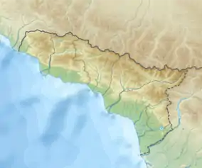
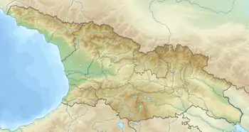
Kodori Range
Kodori ridge — mountain range in the west Greater Caucasus, in the eastern border part of Abkhazia.[1]
| Kodori Range | |
|---|---|
  | |
| Highest point | |
| Peak | Mount Moguashirkha |
| Elevation | 3,852 m (12,638 ft) |
| Dimensions | |
| Length | 75 km (47 mi) |
| Geography | |
| Country | Abkhazia[1] |
| Range coordinates | 42°57′N 41°47′E |
| Parent range | Western Caucasus |
Geography
The longest and most branched ridge of Abkhazia. It is a southwestern spur of the Main Caucasian (or Dividing) ridge, from which the Dalar (Dolar) pass departs and east of the Gvandra peak (3985 m.).[2] It stretches for almost 75 km from north-east to south-west. From the northwest it is delimited by the Saken river valley (beginning Kodor), from the southeast - by the Inguri valleys and its tributary Nenskra.
The ridge line has sharp ups and downs. The highest peaks are Moguashirkha (3852 m)[3] and Kharikhra (3710 m);[4][5] are located in the northern and Khojali Mountain (3313 m)[6] in central parts of the ridge.
It is composed mainly of volcanic rocks, shale and sandstone.
On the slopes of the southern spurs there is a city Tkuarchal, completely ringed by mountains.
See also
References
- Abkhazia is the subject of a territorial dispute between the Republic of Abkhazia and Georgia. The Republic of Abkhazia unilaterally declared independence on 23 July 1992, but Georgia continues to claim it as part of its own sovereign territory and designates it as a territory occupied by Russia. Abkhazia has received formal recognition as an independent state from 7 out of 193 United Nations member states, 1 of which has subsequently withdrawn its recognition.
- Gora Gvandra, Russia/Georgia Peakbagger
- Gora Moguashirkha 3852 m GeoNames
- Gora Kharikhra 3710 m GeoNames
- Kharikhra Glacier
- Mta Khojali 3313 m GeoNames
