Koekelare
Koekelare (Dutch pronunciation: [ˈkukəlaːrə]) (West Flemish: Kookloare) is a municipality located in the Belgian province of West Flanders. The municipality comprises the towns of Bovekerke, Koekelare proper and Zande. On 1 January 2006 Koekelare had a total population of 8,291. The total area is 39.19 km² which gives a population density of 212 inhabitants per km².
Koekelare | |
|---|---|
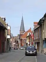 Dorpsstraat in Koekelare with Saint Martinus Church | |
 Flag  Coat of arms | |
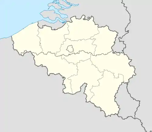 Koekelare Location in Belgium
Location of Koekelare in West Flanders 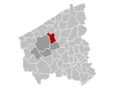 | |
| Coordinates: 51°05′N 02°58′E | |
| Country | Belgium |
| Community | Flemish Community |
| Region | Flemish Region |
| Province | West Flanders |
| Arrondissement | Diksmuide |
| Government | |
| • Mayor | Patrick Lansens (sp.a) |
| • Governing party/ies | sp.a, N-VA |
| Area | |
| • Total | 39.19 km2 (15.13 sq mi) |
| Population (2018-01-01)[1] | |
| • Total | 8,784 |
| • Density | 220/km2 (580/sq mi) |
| Postal codes | 8680 |
| Area codes | 051 |
| Website | www.koekelare.be |
Koekelare was formerly written as Couckelaere.
Towns
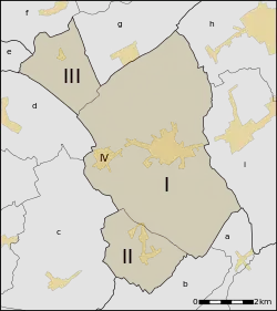
The municipality comprises Koekelare proper, but also contains the villages Bovekerke, Zande and De Mokker. Bovekerke and Zande are "deelgemeentes", who were independent municipalities until the 70s; De Mokker is part of Koekelare proper.
| # | Name | Population (1999) |
|---|---|---|
| I (IV) | Koekelare - Koekelare - De Mokker | 6.879 |
| II | Bovekerke | 1.000 |
| III | Zande | 302 |
Source :Streekplatform Westhoek. Socio-economische beleidsvisie & hefboomprojecten voor de Westhoek
Koekelare borders the following villages:
- a. Handzame (more specifically Edewalle) (Kortemark)
- b. Werken (Kortemark)
- c. Vladslo (Diksmuide)
- d. Leke (Diksmuide)
- e. Sint-Pieters-Kapelle (Middelkerke)
- f. Zevekote (Gistel)
- g. Moere (Gistel)
- h. Eernegem (Ichtegem)
- i. Ichtegem (Ichtegem)
Sights
Museums
- Lange Max Museum, located on Site Lange Max (World War I)
- Käthe Kollwitz Museum (World War I)
- Fransmansmuseum
Buildings, monuments and structures
- Hovaeremolen, a windmill used as German observation post during World War I.
- Batterie Pommern
References
- "Wettelijke Bevolking per gemeente op 1 januari 2018". Statbel. Retrieved 9 March 2019.
External links
 Media related to Koekelare at Wikimedia Commons
- Website
- Lange Max Museum
Places adjacent to Koekelare | ||||||||||
|---|---|---|---|---|---|---|---|---|---|---|
| ||||||||||

