Komborodougou
Komborodougou is a town in northern Ivory Coast. It is a sub-prefecture and commune of Korhogo Department in Poro Region, Savanes District. The border of Vallée du Bandama District is six kilometres east of the town.
Komborodougou | |
|---|---|
Town, sub-prefecture, and commune | |
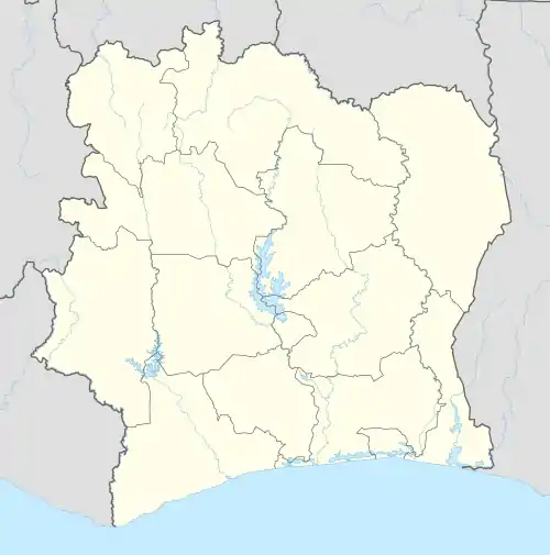 Komborodougou Location in Ivory Coast | |
| Coordinates: 9°20′N 5°26′W | |
| Country | |
| District | Savanes |
| Region | Poro |
| Department | Korhogo |
| Population (2014)[1] | |
| • Total | 12,947 |
| Time zone | UTC+0 (GMT) |
In 2014, the population of the sub-prefecture of Komborodougou was 12,947.[2]
Villages
The 43 villages of the sub-prefecture of Komborodougou and their population in 2014 are:[2]
- Dabakaha (124)
- Dandoumakaha (301)
- Dossemekaha (177)
- Komborodougou (4 329)
- Lagbokaha (541)
- Nabieriguekaha (104)
- Naborikaha (132)
- Nangakaha (114)
- Nongogninekaha (65)
- Sibirikaha (1 023)
- Tiafiguekaha (112)
- Tiefannakaha (26)
- Zonhouakaha (134)
- Bossodougou (126)
- Dabokaha (185)
- Dogninekaha (152)
- Gnamatoloh (228)
- Gneguidiokaha (227)
- Gnenedokaha (92)
- Kafonnonkaha (140)
- Katiekaha (73)
- Kpokaha (223)
- Lelekaha (127)
- Nakaha (731)
- Nakalakaha (208)
- Nambatiokaha (54)
- Nambekaha (189)
- Nangounonkaha (45)
- Nazinekaha (264)
- Nemelokaha (492)
- Nibolikaha (76)
- Ouonsorikaha (486)
- Pangbakaha (129)
- Pederikaha (85)
- Pevrokaha (149)
- Pliguetiankaha (80)
- Sanlokaha (186)
- Siekaha (292)
- Sologokaha (96)
- Tchangakaha (228)
- Tchonkaha (187)
- Tenenakaha (130)
- Yereminkaha (85)
Notes
- "Côte d'Ivoire". geohive.com. Retrieved 7 December 2015.
- "RGPH 2014, Répertoire des localités, Région Poro" (PDF). ins.ci. Retrieved 5 August 2019.
Regional seat: Korhogo | ||
| Dikodougou Department | 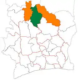 | |
| Korhogo Department | ||
| M'Bengué Department | ||
| Sinématiali Department | ||
* also a commune | ||
This article is issued from Wikipedia. The text is licensed under Creative Commons - Attribution - Sharealike. Additional terms may apply for the media files.