Koudiat Acerdoune Dam
The Koudiat Acerdoune Dam is a gravity dam located 9.5 km (6 mi) southwest of Kadiria on the Isser River in Bouïra Province, Algeria. The dam was constructed between 2002 and 2008 with the roller-compacted concrete technique. It serves the purposes of providing water for industrial, irrigation and municipal uses.[1] It retains a 640,000,000 m3 (518,856 acre⋅ft) capacity reservoir which supplies water for the irrigation of 20,000 ha (49,421 acres) of land along with providing the Algiers region with 178,000,000 m3 (144,307 acre⋅ft) of drinking water annually.[2]
| Koudiat Acerdoune Dam | |
|---|---|
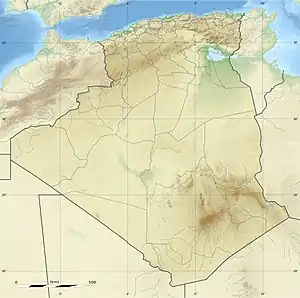
 Location of Koudiat Acerdoune Dam in Algeria | |
| Official name | Barrage Koudiat Acerdoune |
| Country | Algeria |
| Coordinates | 36°29′18″N 03°35′31″E |
| Status | Operational |
| Construction began | 2002 |
| Opening date | 2008 |
| Dam and spillways | |
| Type of dam | Gravity |
| Impounds | Isser River |
| Height | 121 m (397 ft) |
| Length | 493 m (1,617 ft) |
| Dam volume | 1,600,000 m3 (2,092,721 cu yd) |
| Reservoir | |
| Total capacity | 640,000,000 m3 (518,856 acre⋅ft) |
External links
 Media related to Koudiat Acerdoune Dam at Wikimedia Commons
References
- "Koudiat Acerdoune Dam, Algeria". PERI. Archived from the original on 30 September 2011. Retrieved 22 August 2011.
- "The Dam Builder's Dream" (PDF). Mining and Construction. Retrieved 22 August 2011.
This article is issued from Wikipedia. The text is licensed under Creative Commons - Attribution - Sharealike. Additional terms may apply for the media files.