Kraków Voivodeship
Kraków Voivodeship, (Polish: Województwo krakowskie) refers to several historical Voivodeships of Poland in the surrounding regions, with the city of Kraków as its capital.

1975–1998
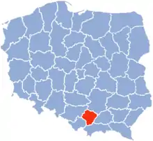
Kraków Voivodeship 1975–1998 (Polish: województwo krakowskie) also named (1975–84) Kraków Metropolitan Voivodeship (województwo miejskie krakowskie) was a unit of administrative division and local government in Poland in years 1975–1998, superseded by Lesser Poland Voivodeship. President of the Kraków City was also the voivodeship governor.
Capital city: Kraków
Major cities and towns, (population in 1995):
- Kraków (745,400);
- Skawina (24,100);
- Alwernia,
- Dobczyce,
- Krzeszowice,
- Myślenice,
- Niepołomice,
- Proszowice,
- Skała,
- Słomniki,
- Sulkowice,
- Świątniki Górne,
- Wieliczka
1945–1975
Kraków Voivodeship 1945–1975 (województwo krakowskie) was a unit of administrative division and local government in Poland in years 1945–1975, superseded by Kraków (1), Tarnów Voivodeship, Nowy Sącz Voivodeship and partly Bielsko-Biała Voivodeship, Katowice Voivodeship and Kielce Voivodeship.
Capital city: Kraków
1921–1939
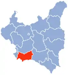
Kraków Voivodeship 1921–1939 (Województwo Krakowskie) was a unit of administrative division and local government in Poland in years 1921–1939. Its total area was 17 560 km² and population – 2 300 100 (as for 1931). Population density was 131 persons per km2.

Capital city: Kraków
In 1938, it consisted of 18 powiats (counties). These were as follows:
- Biala Krakowska county (area 635 km², population 139 100),
- Bochnia county (area 877 km², population 113 800),
- Brzesko county (area 849 km², population 102 200),
- Chrzanów county (area 722 km², population 138 100),
- Dąbrowa Tarnowska county (area 650 km², population 66 700),
- Dębica county (area 1 141 km², population 110 900),
- Gorlice county (area 1 082 km², population 104 800),
- Jasło county (area 1 055 km², population 116 100),
- city of Kraków county (powiat krakowski grodzki), (area 48 km², population 219 300),
- Kraków county (area 884 km², population 187 500),
- Limanowa county (area 944 km², population 87 300),
- Mielec county (area 901 km², population 77 500),
- Myślenice county (area 988 km², population 102 700),
- Nowy Sącz county (area 1 572 km², population 183 900),
- Nowy Targ county (area 2 069 km², population 131 800),
- Tarnów county (area 881 km², population 142 400),
- Wadowice county (area 1 109 km², population 145 100),
- Żywiec county (area 1 337 km², population 130 900).
According to the 1931 census, biggest cities within the Voivodeship's boundaries were:
1816–1837
A Kraków Voivodeship was one of the voivodeships of Congress Poland formed from Kraków Department and existing from 1816 until 1837. Despite the name of this province, the city of Kraków was not included; Kraków was a free city until Kraków Uprising of 1846; the capital of the voivodeship was first Miechów, then Kielce. In 1837 it was renamed into Kraków Governorate.
14th century-1795

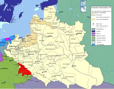
Kraków Voivodeship 14th century-1795 (Latin: Palatinatus Cracoviensis, Polish: Województwo Krakowskie) – a unit of administrative division and local government in the Kingdom of Poland from 14th century to the partitions of Poland in 1772–1795 (see Kingdom of Poland [1320–1385], Kingdom of Poland [1385–1569], and Polish–Lithuanian Commonwealth). It was part of Little Poland province.
References
- Zygmunt Gloger, Historical Geography of Ancient Poland, Krakow Voivodeship (in Polish)
- Maly rocznik statystyczny (Statistical Yearbook of Poland), Summer 1939. Wydawnictwo GUS Warsaw, 1939.
