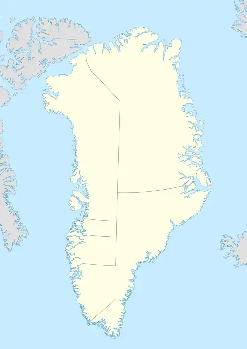
Kuhn Island
Kuhn Island (Danish: Kuhn Ø) is a coastal island in Hochstetter Bay, eastern Greenland. There are coal deposits on the island.[2] [3]
| Kuhn Ø | |
|---|---|
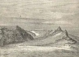 Depot on Kuhn Island during the German Arctic Expedition of 1869-70 | |
 Kuhn Island | |
| Geography | |
| Location | Greenland Sea, East Greenland |
| Coordinates | 74°53′N 20°15′W |
| Area | 634 km2 (245 sq mi)[1] |
| Highest elevation | 1,136 m (3727 ft) |
| Highest point | Schwarze Wand |
| Administration | |
Greenland | |
| Zone | NE Greenland National Park |
| Demographics | |
| Population | uninhabited |
The island was discovered by the Second German North Polar Expedition (1869-1870) and is named after Franz Kuhn von Kuhnenfeld, the Austro-Hungarian minister of war, who was a patron of the expedition's cartographer, Julius von Payer.
Geography
This island lies to the north of Wollaston Foreland, separated from Thomas Thomsen Land in the mainland by a narrow sound, the Fligely Fjord. The Lindeman Fjord has its mouth to the southwest and the Hochstetter Bay of the Greenland Sea lies to the east. The mouths of Ardencaple Fjord and Grandjean Fjord open to the north.
The islands that are located further off the shore in the bay are Shannon Island to the NE and the Pendulum Islands to the SE.[4]
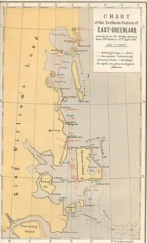 1870 map of the Northern Portion of Eastern Greenland showing coastal islands. |
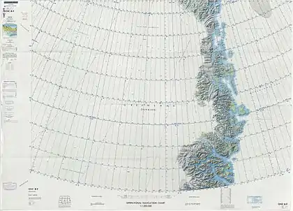 Map of Northeastern Greenland. |
See also
References
- UNEP
- Chisholm, Hugh, ed. (1911). . Encyclopædia Britannica. 12 (11th ed.). Cambridge University Press. p. 545.
- "Freshwater and Marine Image Bank:Depot on Kuhn Island (Link to a potentially free image that might be uploaded)". Archived from the original on 2013-02-17. Retrieved 2020-02-20.
- Kuhn Ø
