Kurud
Kurud is a town and a nagar panchayat in Dhamtari District in the Indian state of Chhattisgarh.
Kurud | |
|---|---|
city | |
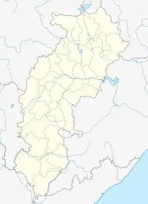 Kurud Location in Chhattisgarh, India  Kurud Kurud (India) | |
| Coordinates: 20.83°N 81.72°E | |
| Country | |
| State | Chhattisgarh |
| District | Dhamtari |
| Area | |
| • Total | 13.40 km2 (5.17 sq mi) |
| Elevation | 298 m (978 ft) |
| Population (2011) | |
| • Total | 13,783 |
| • Density | 1,000/km2 (2,700/sq mi) |
| Languages | |
| • Official | Hindi, Chhattisgarhi |
| Time zone | UTC+5:30 (IST) |
| Vehicle registration | CG05 |
Geography
Kurud is located at 20.83°N 81.72°E.[1] It has an average elevation of 298 metres (977 feet).It is situated on the national highway 30 & nearly 53 km away from state capital Raipur.Kurud is one of the greatest mandi (market) where paddy is been sold by farmers.
Demographics
As of 2001 India census,[2] Kurud had a population of 11,469. Males constitute 50% of the population and females 50%. Kurud has an average literacy rate of 64%, higher than the national average of 59.5%: male literacy is 73%, and female literacy is 56%. In Kurud, 16% of the population is under 6 years of age.
References
- Falling Rain Genomics, Inc - Kurud
- "Census of India 2001: Data from the 2001 Census, including cities, villages and towns (Provisional)". Census Commission of India. Archived from the original on 16 June 2004. Retrieved 1 November 2008.
This article is issued from Wikipedia. The text is licensed under Creative Commons - Attribution - Sharealike. Additional terms may apply for the media files.