Kyabobo National Park
Kyabobo National Park (pronounced CHAY-a-bobo) is a 360-square-kilometre (140 sq mi) national park in Ghana.[1][2]
| Kyabobo National Park | |
|---|---|
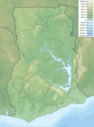 | |
| Location | Oti Region of Ghana |
| Nearest city | Nkwanta |
| Coordinates | 8°25′N 0°37′E |
| Area | 360 km² |
| Established | 1993 |
Kyabobo is located in the Oti Region on the border with Togo. The nearest town is Nkwanta.[1]
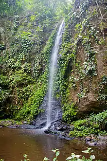
The reserve was established in 1993 but its boundaries were adjusted several times until September 1999 when the current and final boundary was fixed.[2] Ghana's second highest mountain, Mount Dzebobo is contained within the park and offers visitors an impressive view of the Lake Volta.
The park is located in a transition zone between tropical rain forest and tree savanna. The Park's wildlife includes African bush elephants, African leopards, African buffalo, waterbuck, several primate species, bushbuck, duikers and, a symbol for the park, the rock hyrax. A park survey lists at least 500 species of butterflies and 235 birds.[1]
The park has seven hiking trails and two mountain biking trails. The most popular hiking trail follows a ridge in the southeast corner of the park to a peak atop one of the "Breast Mountains."
References
- Ryman, Leif (30 April 2012). "Ecotourism in Ghana: Undiscovered Kyabobo - The Travel Word". Retrieved 17 October 2014.
- Parks and Reserves of Ghana: Management Effectiveness Assessment of Protected Areas (PDF). IUCN – International Union for Conservation of Nature. 2010. pp. 16–17. Retrieved February 10, 2017.