Kyawngtet
Kyawngtet is a village in Hsi Hseng Township, Taunggyi District, in the Shan State of eastern Burma.[1] It is located just to the south of Banyin and to the north of Loisawn along the National Highway 5.[2]
Kyawngtet | |
|---|---|
Village | |
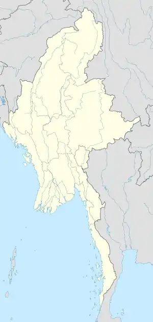 Kyawngtet Location in Burma | |
| Coordinates: 20°27′N 97°14′E | |
| Country | |
| State | Shan State |
| District | Taunggyi District |
| Township | Hsi Hseng Township |
| Time zone | UTC+6.30 (MST) |
References
- United States Board on Geographical Names; United States. War Dept. General Staff; Survey of India (1944). Gazetteer to maps of Burma. Army Map Service. p. 237. Retrieved 28 September 2011.
- Bing Maps (Map). Microsoft and Harris Corporation Earthstar Geographics LLC.
|access-date=requires|url=(help)
This article is issued from Wikipedia. The text is licensed under Creative Commons - Attribution - Sharealike. Additional terms may apply for the media files.