Léré, Mali
Léré is a small town and rural commune of the Cercle of Niafunké in the Tombouctou Region of Mali. The commune covers an area of approximately 1,342 square kilometers and contains the town and 18 villages.[3] In the 2009 census the commune had a population of 16,072.[2]
Léré | |
|---|---|
Commune and town | |
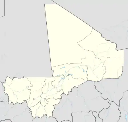 Léré Location in Mali | |
| Coordinates: 15°42′55″N 4°54′15″W | |
| Country | |
| Region | Tombouctou Region |
| Cercle | Niafunké Cercle |
| Area | |
| • Total | 1,342 km2 (518 sq mi) |
| Elevation | 266 m (873 ft) |
| Population (2009 census)[2] | |
| • Total | 16,072 |
| • Density | 12/km2 (31/sq mi) |
| Time zone | UTC+0 (GMT) |
The town is around 60 km east of the Mauritanian border. A weekly market is held in the town on Fridays that attracts people from the surrounding settlements.[4]
References
- Common and Fundamental Operational Datasets Registry: Mali, United Nations Office for the Coordination of Humanitarian Affairs, archived from the original on 2012-01-06. commune_mali.zip (Originally from the Direction Nationale des Collectivités Territoriales, République du Mali)
- Resultats Provisoires RGPH 2009 (Région de Tombouctou) (PDF) (in French), République de Mali: Institut National de la Statistique, archived from the original (PDF) on 2011-07-22.
- Communes de la Région de Tombouctou (PDF) (in French), Ministère de l’administration territoriale et des collectivités locales, République du Mali, archived from the original (PDF) on 19 September 2012.
- Quensière, Jacques, ed. (1994), La pêche dans le delta central du Niger: approche pluridisciplinaire d'un système de production halieutique (PDF) (in French), Paris: ORSTOM, Karthala, p. 539 Carte VI, ISBN 2709912023.
External links
- Plan de Sécurité Alimentaire Commune Rurale de Léré 2006–2010 (PDF) (in French), Commissariat à la Sécurité Alimentaire, République du Mali, USAID-Mali, 2006, archived from the original (PDF) on 2012-09-15, retrieved 2012-04-22.
Capital: Timbuktu | ||
| Diré Cercle | 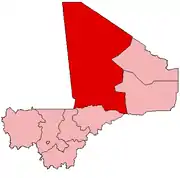 | |
| Goundam Cercle |
| |
| Gourma-Rharous Cercle | ||
| Niafunké Cercle | ||
| Timbuktu Cercle |
| |
This article is issued from Wikipedia. The text is licensed under Creative Commons - Attribution - Sharealike. Additional terms may apply for the media files.