La Viña Airport
La Viña Airport Spanish: Aeropuerto La Viña, (ICAO: SCLV) is an airstrip serving Guangualí (es), a village in the Coquimbo Region of Chile. The airstrip sits on a bluff above the Quilimarí River valley, 11 kilometres (6.8 mi) inland from the Pacific coast.
La Viña Airport | |||||||||||
|---|---|---|---|---|---|---|---|---|---|---|---|
| Summary | |||||||||||
| Airport type | Public | ||||||||||
| Serves | Guangualí (es), Chile | ||||||||||
| Elevation AMSL | 870 ft / 265 m | ||||||||||
| Coordinates | 32°8′25″S 71°23′53″W | ||||||||||
| Map | |||||||||||
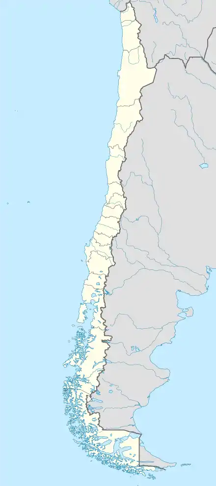 SCLV Location of La Viña Airport in Chile | |||||||||||
| Runways | |||||||||||
| |||||||||||
There is rising terrain to the south, and a dropoff into the river valley to the north.
See also
 Chile portal
 Aviation portal
- Transport in Chile
- List of airports in Chile
References
- Airport information for La Viña Airport at Great Circle Mapper.
- Google (2013-09-06). "location of La Viña Airport" (Map). Google Maps. Google. Retrieved 2013-09-06.
External links
- OpenStreetMap - La Viña
- OurAirports - La Viña
- FallingRain - La Viña Airport
- Accident history for La Viña Airport at Aviation Safety Network
This article is issued from Wikipedia. The text is licensed under Creative Commons - Attribution - Sharealike. Additional terms may apply for the media files.