Mataveri International Airport
Mataveri International Airport or Isla de Pascua Airport (IATA: IPC, ICAO: SCIP) is at Hanga Roa on Rapa Nui (Easter Island) (Isla de Pascua in Spanish). The most remote airport in the world (defined as distance to another airport),[4] it is 2,336 miles (3,759 km) from Santiago, Chile (SCL) which has scheduled flights to it on the Chilean carrier LATAM Chile. The runway starts just inland from the island's southeast coast at Mataveri, and nearly reaches the west coast, almost separating the mountain of Rano Kau from the rest of the island. The airport is the main point of entry for thousands of tourists who come to Easter Island to see its Moai statues. It has a transit lounge that was used by passengers continuing to or returning from Papeete, Tahiti, which was serviced by LATAM until June 2020.
Mataveri International Airport Isla de Pascua Airport | |||||||||||
|---|---|---|---|---|---|---|---|---|---|---|---|
 | |||||||||||
| Summary | |||||||||||
| Airport type | Military/Public | ||||||||||
| Operator | FACH – Fuerza Aérea de Chile (Chilean Air Force) | ||||||||||
| Location | Mataveri | ||||||||||
| Elevation AMSL | 227 ft / 69 m | ||||||||||
| Coordinates | 27°09′53″S 109°25′18″W | ||||||||||
| Website | mataverinternational | ||||||||||
| Map | |||||||||||
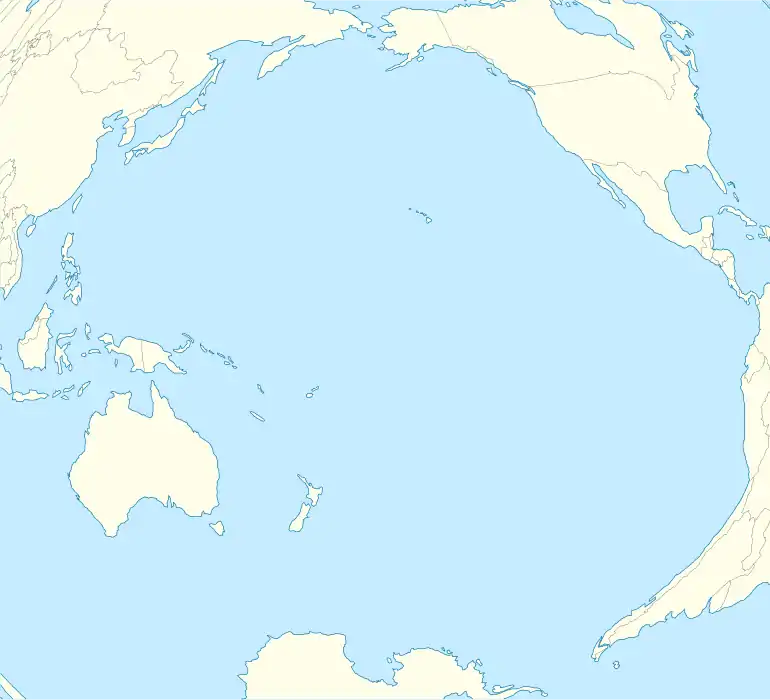 IPC Location of airport in Pacific Ocean | |||||||||||
| Runways | |||||||||||
| |||||||||||
History
Scheduled services from the Chilean mainland started in 1967 with a monthly Douglas DC-6B propliner flight operated by LAN-Chile that took nine hours,[5] using a runway extended and paved for the use as a U.S. base.[6] In 1970, services were upgraded with weekly Boeing 707-320 nonstop jet service to Santiago, Chile and Faa'a International Airport (PPT) in Papeete, Tahiti.[5][7] Nonstop service to Papeete had been added earlier during the late 1960s using a DC-6B and the frequency then doubled to twice-weekly with LAN-Chile providing direct connecting 707 service once a week between Easter Island and Frankfurt, Paris and Madrid in Europe via its Santiago hub.[8][9] By 1975, LAN-Chile had extended its Tahiti route flown once a week with a 707 to Nadi, Fiji (NAN).[10] LAN-Chile then replaced its Boeing 707 flights with Boeing 767-200ER jet service and in 1993 was operating twice weekly round trip flights on a routing of Santiago (SCL) – Easter Island (IPC) – Papeete (PPT).[11] The airline later operated Airbus A340 and Boeing 767-300ER wide body jetliners into the airport.[12]
The airport's single runway is 3,318 m (10,885 ft) long. The airport was once designated as an abort site for the U.S. Space Shuttle when polar orbital flights from Vandenberg Air Force Base in southern California were planned[13] with this space launch activity then subsequently being cancelled. The project undertaken by NASA to lengthen the runway was completed in 1987 and enabled wide-bodied jets to use the airport, which further boosted tourism to the island.[14]
In June 2020, LATAM Chile discontinued service from the airport to Papeete due to the economical effects of the COVID-19 pandemic.[15]
Description
Due to the lack of diversion airports between PPT (Tahiti) and South America except for IPC, the Chilean CAA prohibits more than one aircraft from the vicinity of IPC. Once an aircraft flying from South America is more than at the halfway point between South America and IPC, no other aircraft can be closer than the halfway point until the first aircraft successfully lands at IPC. This is because if an aircraft should have an accident that obstructs or closes the runway, other aircraft cannot land at IPC and would have to turn back.
The Isla de Pascua VOR-DME (Ident: IPA) and non-directional beacon (Ident: IPA) are located on the field.[16][17] Also, an Instrument Landing System(ILS) is available for precision approaches for runway 10 (roughly west-east bound)[18]
There is a hill adjacent to the eastern end of the runway. Approach and departures to either end of the runway are over the water.
Airlines and destinations
| Airlines | Destinations |
|---|---|
| LATAM Chile | Santiago de Chile |
LATAM Chile operates Boeing 787 Dreamliner aircraft to the island on its scheduled services.
See also
- Extreme points of Earth
- Shuttle Down, a 1980 novel by American author G. Harry Stine (Lee Correy), which gives a fictional account of the Space Shuttle Atlantis making an emergency landing at Easter Island following launch from Vandenberg Air Force Base in California.
- Transport in Chile
- List of airports in Chile
References
- Airport information for Mataveri International Airport at Great Circle Mapper.
- Mataveri Airport SkyVector
- "Mataveri International Airport". Google Maps. Retrieved 10 December 2017.
- Davies, Jason (3 October 2014). "World Airports Voronoi". Retrieved 3 October 2014.
- Steven Roger Fischer (2013). Island at the End of the World: The Turbulent History of Easter Island. Reaktion Books. ISBN 978-1861892829.
- "Rapa Nui (Easter Island)" (PDF). Jurisdiction Project, Institute of Island Studies, University of Prince Edwards Island. 2007.
- http://www.timetableimages.com, Jan. 1, 1970 UTA system timetable, LAN-Chile Santiago-Easter Island-Papeete flight schedules
- Airline Timetable Images, Oct. 25, 1970 LAN-Chile system timetable
- Steven R Fischer The island at the end of the world. Reaktion Books 2005 ISBN 1-86189-282-9 Page 220
- http://www.timetableimages.com, Nov. 1, 1975 LAN-Chile system timetable
- Airline Timetable Images, April 1993 LANChile system timetable
- Airliners.net | Aviation Photography, Discussion Forums & News, photos of LAN Airlines Airbus A430 and Boeing 767-300ER aircraft at Easter Island.
- "NASA and a Mystery : For Easter Island, a Frantic Year". Los Angeles Times. 11 February 1986. Retrieved 22 March 2018.
- ANTHONY BOADLE (17 August 1987). "Emergency space shuttle landing strip opened". United Press International.
- "Latam rescheduling and scaling back domestic and international flights". MercoPress. 27 June 2020. Retrieved 24 October 2020.
- Isla de Pascua VOR
- Isla de Pascua NDB
External links
- Airport information for SCIP at World Aero Data. Data current as of October 2006.
- OpenStreetMap Mataveri
- Island heritage photos
- Live camera at airport
- Current weather for SCIP at NOAA/NWS