Labathude
Labathude is a commune in the Lot department in south-western France.
Labathude | |
|---|---|
Location of Labathude 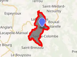
| |
 Labathude  Labathude | |
| Coordinates: 44°44′21″N 1°59′36″E | |
| Country | France |
| Region | Occitanie |
| Department | Lot |
| Arrondissement | Figeac |
| Canton | Lacapelle-Marival |
| Intercommunality | Grand-Figeac |
| Government | |
| • Mayor (2001–2008) | Jacques Virole |
| Area 1 | 10.05 km2 (3.88 sq mi) |
| Population (2017-01-01)[1] | 209 |
| • Density | 21/km2 (54/sq mi) |
| Time zone | UTC+01:00 (CET) |
| • Summer (DST) | UTC+02:00 (CEST) |
| INSEE/Postal code | 46139 /46120 |
| Elevation | 370–615 m (1,214–2,018 ft) (avg. 613 m or 2,011 ft) |
| 1 French Land Register data, which excludes lakes, ponds, glaciers > 1 km2 (0.386 sq mi or 247 acres) and river estuaries. | |
Geography
Labthude is located in Quercy, in Ségala. Positioned at the beginning of Massif Central, Labathude is located between 310m (minimum) and 613m (maximum) above sea level.
Location
Labathude is a commune located between Lacapelle-Marival and Latronquière. The biggest city next to Labathude is Figeac (at about 20 km).
References
- "Populations légales 2017". INSEE. Retrieved 6 January 2020.
| Wikimedia Commons has media related to Labathude. |
| Authority control |
|---|
This article is issued from Wikipedia. The text is licensed under Creative Commons - Attribution - Sharealike. Additional terms may apply for the media files.
