Langtauferer Spitze
The Langtauferer Spitze is a mountain in the Weisskamm group of the Ötztal Alps on the border between Tyrol, Austria, and South Tyrol, Italy.
| Langtauferer Spitze | |
|---|---|
 Langtauferer Spitze from the southeast over the Hintereisferner. All the way on the left is the Weißkugel. | |
| Highest point | |
| Elevation | 3,529 m (11,578 ft) |
| Prominence | 177 m (581 ft) |
| Parent peak | Weißkugel |
| Isolation | 1.4 km (0.87 mi) |
| Coordinates | 46°48′17″N 10°44′45″E |
| Geography | |
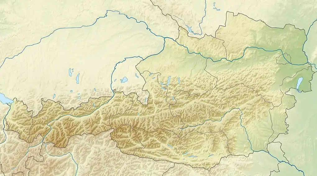 Langtauferer Spitze Location within Austria on the Austrian—Italian border | |
| Location | Tyrol, Austria / South Tyrol, Italy |
| Parent range | Ötztal Alps |
| Climbing | |
| First ascent | 1865 by D. W. Freshfield, W. H. Fox, F. F. Tuckett, F. Devouassoud and P. Michel |
References
This article is issued from Wikipedia. The text is licensed under Creative Commons - Attribution - Sharealike. Additional terms may apply for the media files.
