Laurier, Manitoba
Laurier is a community in the Parkland Region of Manitoba, Canada within the Rural Municipality of Ste. Rose. It is located on Highway 480, 3.2 km (2.0 mi) west of Highway 5, between the Village of McCreary to the south and the Town of Ste. Rose du Lac to the north.
Laurier | |
|---|---|
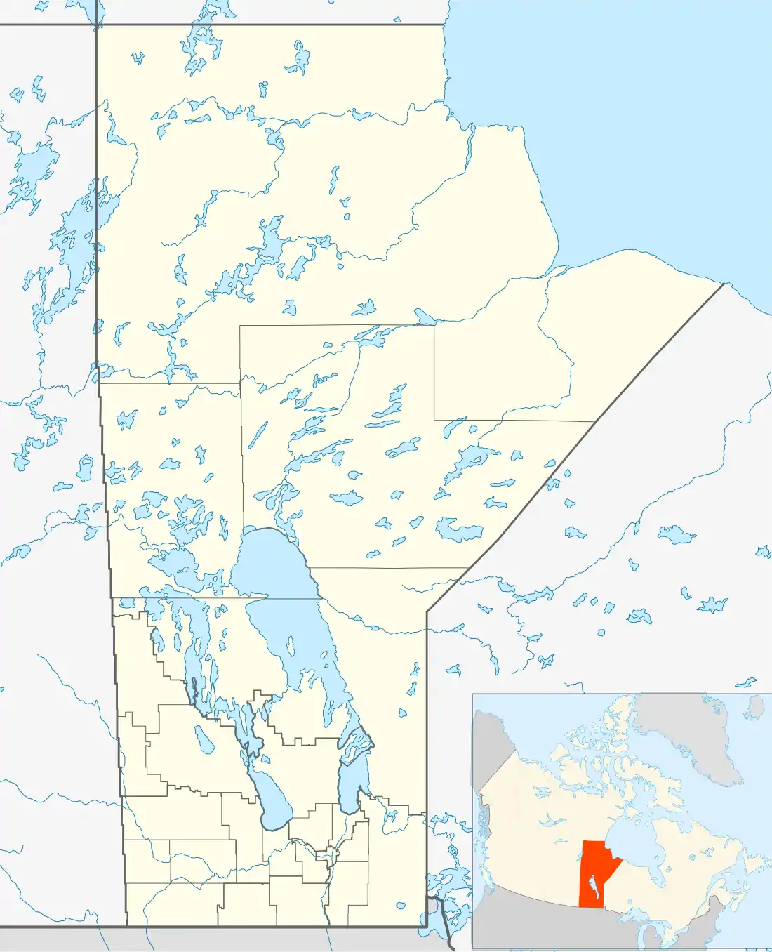 Laurier Location of Laurier in Manitoba | |
| Coordinates: 50.890°N 99.561°W | |
| Country | Canada |
| Province | Manitoba |
| Region | Parkland |
| Rural municipality | Ste. Rose |
| Area | |
| • Total | 5.54 km2 (2.14 sq mi) |
| Population (2011)[1] | |
| • Total | 177 |
| • Density | 32.0/km2 (83/sq mi) |
| Time zone | UTC−6 (CST) |
| • Summer (DST) | UTC−5 (CDT) |
The community is recognized as a designated place by Statistics Canada.[1]
History
Laurier was identified as a railway point on a map in 1896 with the Canadian National Railway arriving the following year. The post office was opened as Fosbery and changed to Laurier in 1897 in honour of Sir Wilfrid Laurier, the Prime Minister of Canada at that time.[2]
Demographics
As a designated place in the 2011 Census, Laurier had a population of 177 living in 82 of its 85 total dwellings, a -14.1% change from its 2006 population of 206. With a land area of 5.54 km2 (2.14 sq mi), it had a population density of 31.95/km2 (82.75/sq mi) in 2011.[1]
References
- "Population and dwelling counts, for Canada, provinces and territories, and designated places, 2011 and 2006 censuses (Manitoba)". Statistics Canada. 2012-02-08. Retrieved 2012-07-16.
- Geographical Names of Manitoba. Millennium Bureau of Canada. p. 145.
| Cities | 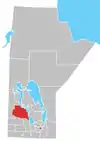 | ||
|---|---|---|---|
| Towns |
| ||
| Villages |
| ||
| Rural municipalities |
| ||
| First Nations | |||
| Indian reserves | |||
| Unorganized areas | |||
| Unincorporated communities |
| ||