Leipsic River
The Leipsic River is a 16.7-mile-long (26.9 km) river[5] in central Delaware in the United States.
| Leipsic River Tributary to Delaware Bay | |
|---|---|
.jpg.webp) The Leipsic River at Leipsic | |
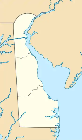
 Location of Leipsic River mouth  Leipsic River (the United States) | |
| Location | |
| Country | United States |
| State | Delaware |
| County | Kent |
| Physical characteristics | |
| Source | confluence of Pinks Branch and Taylor Branch |
| • location | about 1 mile north of Seven Hickories, Delaware[1] |
| • coordinates | 39°13′55″N 075°38′11″W[2] |
| • elevation | 24 ft (7.3 m)[1] |
| Mouth | Delaware Bay |
• location | about 0.25 miles south of Goose Point[1] |
• coordinates | 39°14′40″N 075°24′11″W[2] |
• elevation | 0 ft (0 m)[1] |
| Length | 16.55 mi (26.63 km)[3] |
| Basin size | 53.13 square miles (137.6 km2)[4] |
| Discharge | |
| • location | Delaware Bay |
| • average | 56.82 cu ft/s (1.609 m3/s) at mouth with Delaware Bay[4] |
| Basin features | |
| Progression | east |
| River system | Delaware Bay |
| Tributaries | |
| • left | Pinks Branch Snows Branch Spruances Branch Bennefield Branch Raymond Gut Duck Creek |
| • right | Taylor Branch Willis Branch Alston Branch Dyke Branch Boat Gut |
| Waterbodies | Masseys Millpond Garrisons Lake |
It rises in northern Kent County, approximately 8 miles (13 km) northwest of Dover. It flows generally east, past Leipsic and entering Delaware Bay approximately 8 miles (13 km) northeast of Dover. The mouth of the river on Delaware Bay is surrounded by extensive wetlands that are protected as part of Bombay Hook National Wildlife Refuge.
See also
References
- "Leipsic River Range Lights Topo Map, Kent County DE (Little Creek Area)". TopoZone. Locality, LLC. Retrieved 11 August 2019.
- "GNIS Detail - Leipsic River". geonames.usgs.gov. US Geological Survey. Retrieved 11 August 2019.
- "ArcGIS Web Application". epa.maps.arcgis.com. US EPA. Retrieved 11 August 2019.
- "Leipsic River Watershed Report". Waters Geoviewer. US EPA. Retrieved 11 August 2019.
- U.S. Geological Survey. National Hydrography Dataset high-resolution flowline data. The National Map Archived 2012-03-29 at the Wayback Machine, accessed April 1, 2011
This article is issued from Wikipedia. The text is licensed under Creative Commons - Attribution - Sharealike. Additional terms may apply for the media files.
