List of crossings of the Spokane River
This is a complete list of current bridges and other crossings of the Spokane River from its mouth at the Columbia River to its source at Lake Coeur d'Alene.
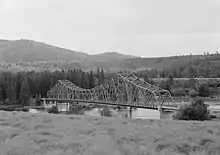
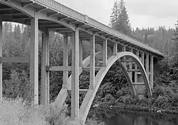
Crossings
All locations are in Washington unless otherwise specified.


.jpg.webp)


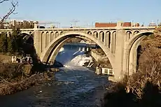
Diversion channel
All locations are in Spokane. This corresponds to the area between the Monroe Street Bridge and Division Street Bridge above.
| Image | Crossing | Opened | Coordinates |
|---|---|---|---|
 |
South Howard Street Footbridge | 47.661026°N 117.421082°W | |
 |
Clock Tower Footbridge | 47.661149°N 117.419436°W | |
 |
Stevens Street | 47.661106°N 117.418932°W | |
| Washington Street | 47.661091°N 117.418202°W | ||
 |
King Cole Footbridge | 47.661546°N 117.416153°W |
References
| Wikimedia Commons has media related to Crossings of the Spokane River. |
- "Spokane River". Bridgehunter.com. Retrieved November 6, 2018.
- "$60,000 repair project set for historic Howard bridge". Spokesman-Review. (Spokane, Washington). October 20, 1963. p. 6.
This article is issued from Wikipedia. The text is licensed under Creative Commons - Attribution - Sharealike. Additional terms may apply for the media files.