Longriggend
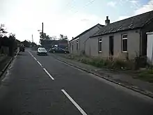
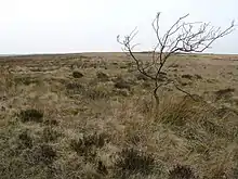
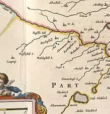
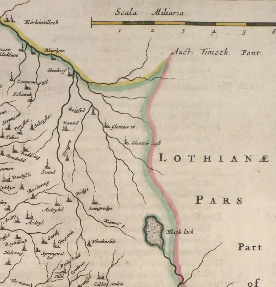
Longriggend is a village in North Lanarkshire, Scotland, with a population of approximately 200. It is situated on moorland 8 km north-east of Airdrie, in the parish of New Monkland. It is roughly half way between Upperton and Caldercruix. The village appeared on a map by Timothy Pont, under the name of Langrodge. It was published in 1596 but the letters are difficult to read.[3] The toponymy is listed along with other -rigg placenames.[4] Longriggend is also shown on another map by Roy c1754.[5] Slamannan Railway joined Longriggend with Airdrie and the Union Canal in 1840, but its gauge prevented its connection with the Edinburgh & Glasgow Railway. Coal pits in the area used the railway extensively,[6] and by 1895 there was a station at Longriggend.[7] By 1901 its population had reached over 1500, and it had a post and telegraph office, and an inn nearby.[8]
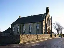
The Ordnance Survey in 1867 also recorded a Roman Catholic school in the village.[9]
Longriggend Fever Hospital and Remand Institution
Historically there was a tuberculosis sanitorium in the part of the village now known as Upperton.[10] The hospital was converted into Longriggend Remand Institution which has now been closed[11] and demolished.[12]
References
- Blaeu, Joan. "Sterlinensis praefectura, Sterlin-Shyr". National Library of Scotland. Retrieved 30 December 2017.
- Pont, Timothy. "The East Central Lowlands (Stirling, Falkirk & Kilsyth) - Pont 32". National Library of Scotland. Retrieved 9 August 2016.
- "Glasgow and the county of Lanark - Pont 34". Maps of Scotland. Timothy Pont (16th century). Retrieved 31 December 2017.
- Drummond, Peter, John (2014). An analysis of toponyms and toponymic patterns in eight parishes of the upper Kelvin basin (PDF). Glasgow: Glasgow University. p. 354. Retrieved 3 July 2017.
- "Roy's map of the Lowlands". National Library of Scotland. Retrieved 3 January 2018.
- Dron, Robert W. (1902). The Coal-fields of Scotland. London: Blackie & Son. p. 157. Retrieved 3 February 2018.
- "O.S. Map with zoom and Bing overlay". National Library of Scotland. Ordnance Survey. Retrieved 30 December 2017.
- The Making of Scotland, Robin Smith, Canongate Books Ltd, 2001, ISBN 1-84195-170-6
- History of Longriggend, accessed 18 February 2011
- "25 inch O.S. map with Open Street Map overlay". National Library of Scotland. Retrieved 4 January 2018.
- "High-security prison opens its doors to Hollywood". The Scotsman. 13 June 2004. Retrieved 4 January 2018.
- Tonner, Judith (29 July 2009). "Developer plans 240 houses for Upperton". Daily Record. Retrieved 4 January 2018.
- Blaeu, Joan. "Glottiana Praefectura Inferior". National Library of Scotland. Retrieved 30 December 2017.
- "Glasgow and the county of Lanark - Pont 34". Maps of Scotland. Timothy Pont (16th century). Retrieved 31 December 2017.
| Wikimedia Commons has media related to Longriggend. |
