Mécheria
Mécheria is a small city situated in Naâma Province, Algeria in the Atlas mountains, capital of Mécheria District.
Mécheria
بلدية المشرية | |
|---|---|
| Commune of Mécheria | |
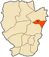
 Location of Mécheria within Naâma Province | |
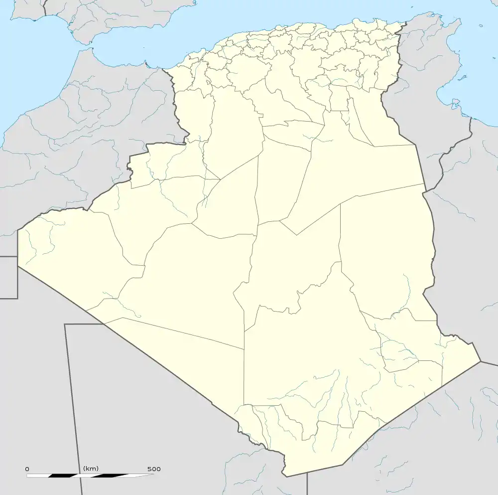
 Mécheria Location of Mécheria within Algeria | |
| Coordinates: 33°33′N 0°17′W | |
| Country | |
| Province | Naâma |
| District | Mécheria (seat) |
| Elevation | 1,180 m (3,870 ft) |
| Population (Census 2008) | |
| • Total | 66,465 |
| Time zone | UTC+01 (CET) |
| Postal code | 45100 |
| ONS code | 4502 |
Transport
Air
There is an airport there.
Railway
Mecheria is served by a narrow gauge railway from Mohammadia, however, replacing it with a standard gauge line has been proposed.
Climate
In Mecheria, there is a local steppe climate. Rainfall is higher in winter than in summer. The Köppen-Geiger climate classification is BWk. The average annual temperature in Mecheria is 15.4 °C (59.7 °F). About 268 mm (10.55 in) of precipitation falls annually.
| Climate data for Mecheria | |||||||||||||
|---|---|---|---|---|---|---|---|---|---|---|---|---|---|
| Month | Jan | Feb | Mar | Apr | May | Jun | Jul | Aug | Sep | Oct | Nov | Dec | Year |
| Average high °C (°F) | 11.1 (52.0) |
13.0 (55.4) |
16.4 (61.5) |
20.5 (68.9) |
23.8 (74.8) |
29.9 (85.8) |
34.9 (94.8) |
34.3 (93.7) |
29.3 (84.7) |
21.9 (71.4) |
15.1 (59.2) |
10.7 (51.3) |
21.7 (71.1) |
| Average low °C (°F) | 1.7 (35.1) |
2.5 (36.5) |
4.7 (40.5) |
7.6 (45.7) |
11.2 (52.2) |
16.2 (61.2) |
20.4 (68.7) |
20.4 (68.7) |
15.2 (59.4) |
10.4 (50.7) |
5.3 (41.5) |
2.6 (36.7) |
9.9 (49.7) |
| Average precipitation mm (inches) | 20 (0.8) |
22 (0.9) |
32 (1.3) |
27 (1.1) |
23 (0.9) |
15 (0.6) |
5 (0.2) |
9 (0.4) |
28 (1.1) |
26 (1.0) |
35 (1.4) |
26 (1.0) |
268 (10.6) |
| Source: Climate-Data.org,Climate data | |||||||||||||
This article is issued from Wikipedia. The text is licensed under Creative Commons - Attribution - Sharealike. Additional terms may apply for the media files.
.svg.png.webp)