Möng Kō
'Möng Kō, also known as Mong Kois a village in Tachileik Township, Tachileik District, Shan State. It lies near the National Highway 4 (Burma).[2]
Mong Ko | |
|---|---|
Village | |
 Mong Ko | |
| Coordinates: 20°34′3″N 99°58′37″E | |
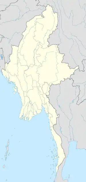
| Country | |
| State | Shan State |
| District | Tachileik District |
| Township | Tachileik Township |
| Elevation | 1,480 ft (450 m) |
| Time zone | UTC+6:30 (MMT) |
References
Capital: Tachileik | |
|
This article is issued from Wikipedia. The text is licensed under Creative Commons - Attribution - Sharealike. Additional terms may apply for the media files.
